The Mall, London
Map
Gallery
Facts and practical information
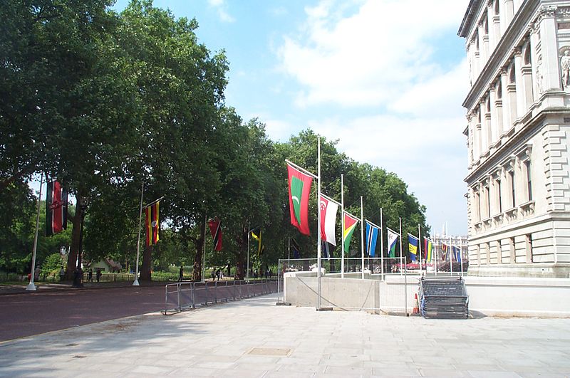
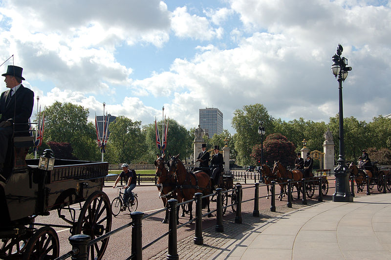
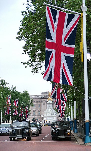
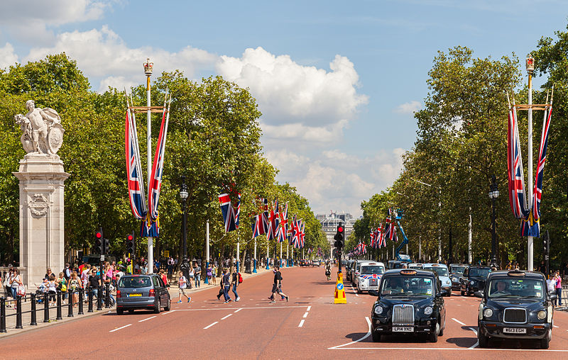
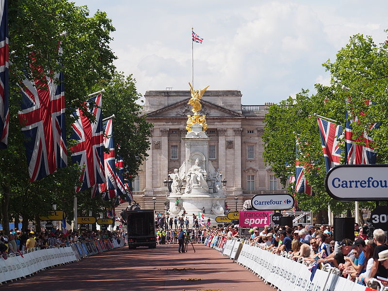
The Mall is a road in the City of Westminster, central London, between Buckingham Palace at its western end and Trafalgar Square via Admiralty Arch to the east. Near the east end at Trafalgar Square and Whitehall it is met by Horse Guards Road and Spring Gardens where the Metropolitan Board of Works and London County Council were once based. It is closed to traffic on Saturdays, Sundays, public holidays and on ceremonial occasions. ()
Address
City of Westminster (St. James's)London
ContactAdd
Social media
Add
Day trips
The Mall – popular in the area (distance from the attraction)
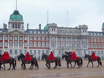
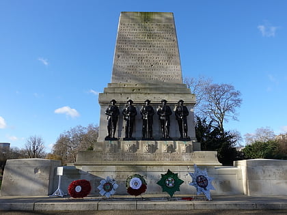
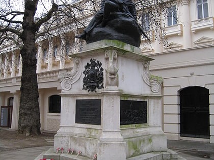
Nearby attractions include: Churchill War Rooms, St. James's Park, Horse Guards Parade, Guards Memorial.
Frequently Asked Questions (FAQ)
Which popular attractions are close to The Mall?
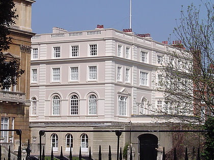
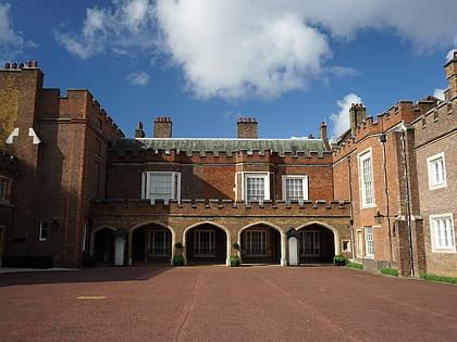
Nearby attractions include King George VI, London (2 min walk), Queen's Chapel, London (3 min walk), St. James's Park, London (3 min walk), Friary Court, London (3 min walk).
How to get to The Mall by public transport?
The nearest stations to The Mall:
Bus
Metro
Train
Ferry
Bus
- Old Bond Street / Royal Academy • Lines: 38, N38 (9 min walk)
- Piccadilly Circus • Lines: 38, N38 (10 min walk)
Metro
- Green Park • Lines: Jubilee, Piccadilly, Victoria (9 min walk)
- Piccadilly Circus • Lines: Bakerloo, Piccadilly (10 min walk)
Train
- Charing Cross (14 min walk)
- London Victoria (20 min walk)
Ferry
- Westminster Pier • Lines: Blue Tour, Green Tour, Rb1, Rb1X, Rb2, Red Tour (14 min walk)
- Embankment • Lines: Green Tour, Rb1, Rb1X, Rb2, Rb6 (16 min walk)



 Tube
Tube

