Whitehall, London
Facts and practical information
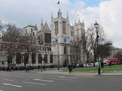
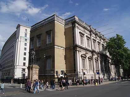
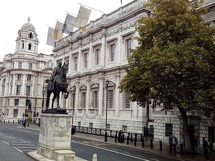
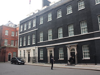
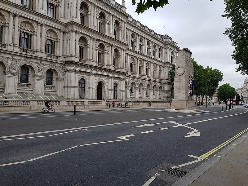
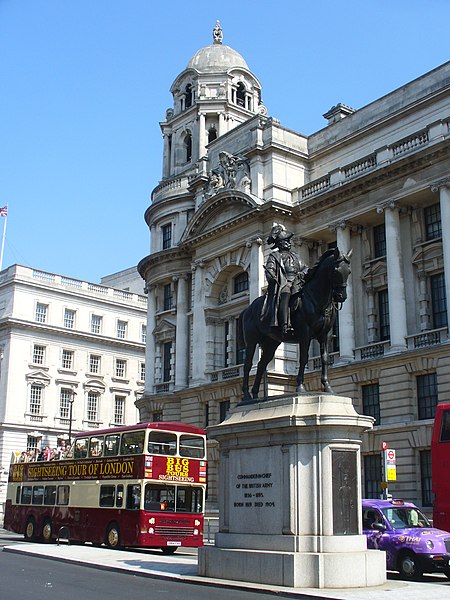
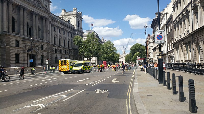
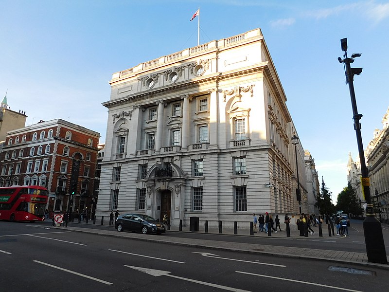
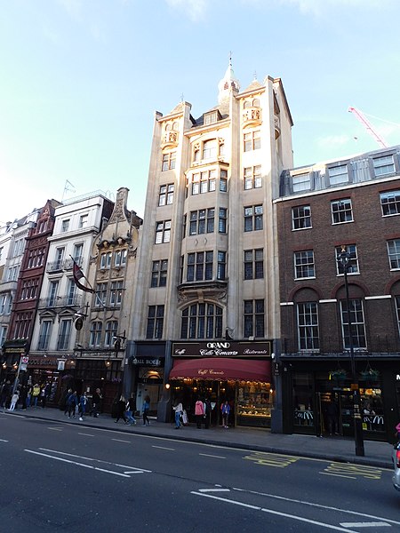
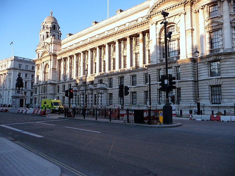
Whitehall is a road and area in the City of Westminster, Central London. The road forms the first part of the A3212 road from Trafalgar Square to Chelsea. It is the main thoroughfare running south from Trafalgar Square towards Parliament Square. The street is recognised as the centre of the Government of the United Kingdom and is lined with numerous departments and ministries, including the Ministry of Defence, Horse Guards and the Cabinet Office. Consequently, the name 'Whitehall' is used as a metonym for the British civil service and government, and as the geographic name for the surrounding area. ()
City of Westminster (St. James's)London
Whitehall – popular in the area (distance from the attraction)
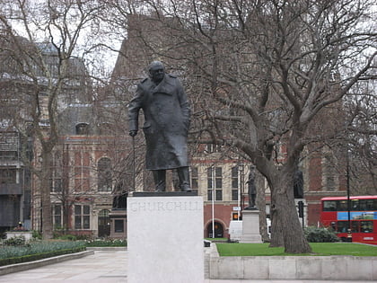
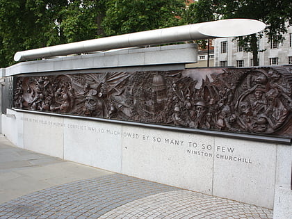
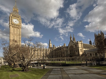
Nearby attractions include: Big Ben, Churchill War Rooms, Parliament Square, St Margaret's.
Frequently Asked Questions (FAQ)
Which popular attractions are close to Whitehall?
How to get to Whitehall by public transport?
Metro
- Westminster • Lines: Circle, District, Jubilee (3 min walk)
- Embankment • Lines: Bakerloo, Circle, District, Northern (10 min walk)
Ferry
- Westminster Pier • Lines: Blue Tour, Green Tour, Rb1, Rb1X, Rb2, Red Tour (4 min walk)
- London Eye - Waterloo Pier • Lines: Rb1, Rb1X, Rb2, Red Tour (7 min walk)
Train
- Charing Cross (10 min walk)
- London Waterloo (15 min walk)
Bus
- Trafalgar Square / Charing Cross Station • Lines: N26 (11 min walk)
- Charing Cross Station • Lines: N26 (11 min walk)


 Tube
Tube


