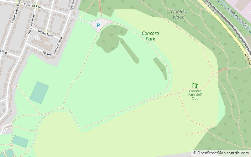
Concord Park, Sheffield
Map

Map

Facts and practical information
Concord Park is a large park in the North of Sheffield, England, between Shiregreen and Wincobank. ()
Elevation: 400 ft a.s.l.Coordinates: 53°25'40"N, 1°25'54"W
Address
Shiregreen and BrightsideSheffield
ContactAdd
Social media
Add
Day trips
Concord Park – popular in the area (distance from the attraction)
Nearby attractions include: Meadowhall Shopping Centre, Firth Park, Tinsley Viaduct, Wincobank.
Frequently Asked Questions (FAQ)
How to get to Concord Park by public transport?
The nearest stations to Concord Park:
Bus
Train
Tram
Bus
- Bellhouse Road/Concord Road • Lines: 76 (11 min walk)
- Bellhouse Road/Oaks Fold • Lines: 75, 76 (11 min walk)
Train
- Meadowhall Interchange (27 min walk)
Tram
- Meadowhall Interchange • Lines: Yell (28 min walk)
- Meadowhall South / Tinsley • Lines: Tt, Yell (37 min walk)


