Fell Foot Park, Windermere
Map

Map

Facts and practical information
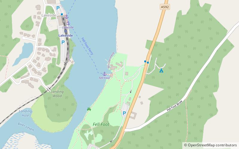
Fell Foot Park is a country park, formerly the grounds of a Victorian house, situated beside Windermere, a lake in Cumbria, England, and in the ownership of the National Trust. It is just north of Newby Bridge on the A592 road in the civil parish of Staveley-in-Cartmel in South Lakeland district. ()
Elevation: 171 ft a.s.l.Coordinates: 54°16'33"N, 2°57'6"W
Day trips
Fell Foot Park – popular in the area (distance from the attraction)
Nearby attractions include: Lakes Aquarium, Stott Park Bobbin Mill, Simpson Ground Reservoir, St Peter's Church.
Frequently Asked Questions (FAQ)
Which popular attractions are close to Fell Foot Park?
Nearby attractions include Staveley Fell, Lake District National Park (14 min walk), Stott Park Bobbin Mill, Windermere (23 min walk).
How to get to Fell Foot Park by public transport?
The nearest stations to Fell Foot Park:
Ferry
Train
Ferry
- Fell Foot • Lines: Fell Foot Ferry (2 min walk)
- Lakeside • Lines: Fell Foot Ferry, yellow (6 min walk)
Train
- Lakeside (6 min walk)
- Newby Bridge Halt (26 min walk)


