Gummer's How

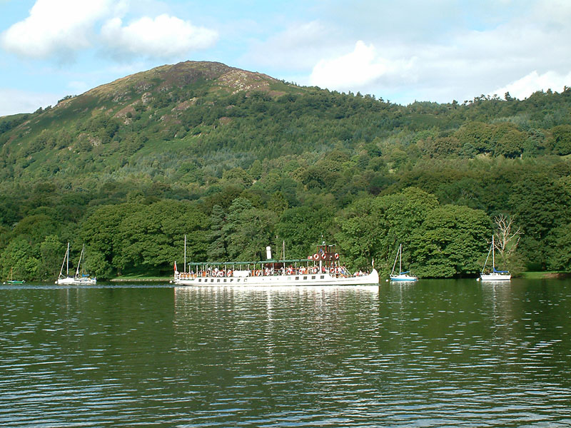
Gallery (2)
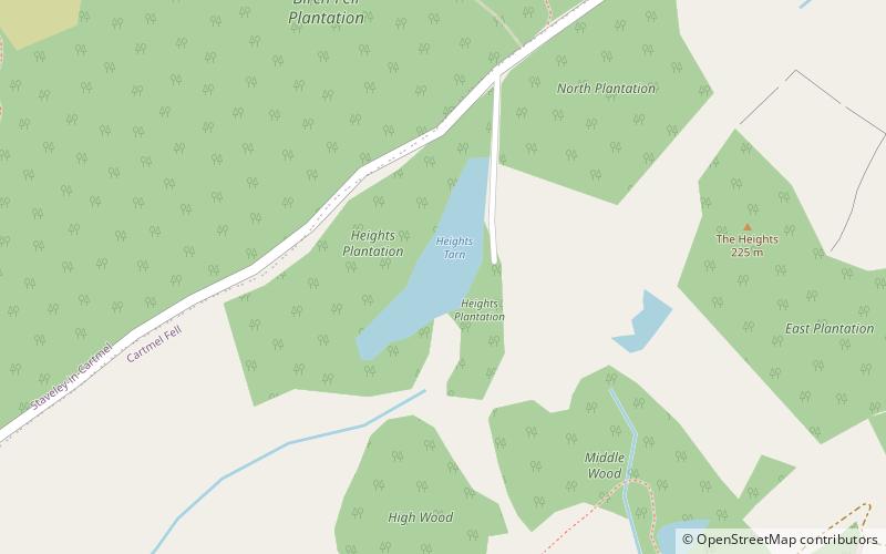
Map
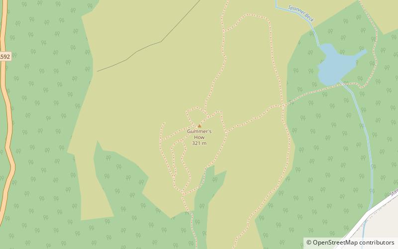
Map
Gallery
Facts and practical information
Gummer's How is a hill in the southern part of the Lake District, on the eastern shore of Windermere, near its southern end. How, derived from the Old Norse word haugr, is a common local term for a hill or mound. ()
Elevation: 1053 ftProminence: 712 ftCoordinates: 54°17'18"N, 2°56'16"W
Location
England
ContactAdd
Social media
Add
Day trips