Heights Tarn, Lake District National Park

Map
Facts and practical information
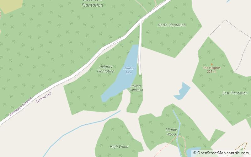
Heights Tarn is a small lake to the east of Windermere and north of Simpson Ground Reservoir, near Cartmel Fell, in the Lake District of Cumbria, England. Located at an altitude of 208 m, the lake has an area of 1.5 hectares, and measures 290 m × 73 m. Although just off the main road, the lake is not accessible to the public, lying on private land and contains a boathouse on its eastern bank. About 400 metres to the south is Sow How Tarn. ()
Length: 951 ftWidth: 240 ftElevation: 705 ft a.s.l.Coordinates: 54°17'17"N, 2°55'18"W
Address
Lake District National Park
ContactAdd
Social media
Add
Day trips
Heights Tarn – popular in the area (distance from the attraction)
Nearby attractions include: Fell Foot Park, Gummer's How, St Anthony's Church, Staveley Fell.


