Sidgwick Avenue, Cambridge
Map
Gallery
Facts and practical information
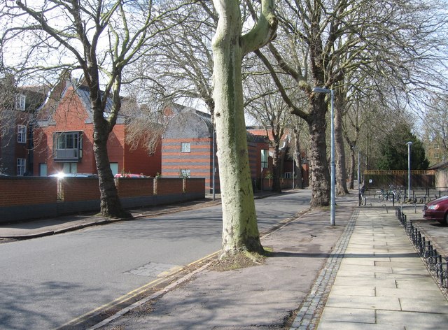
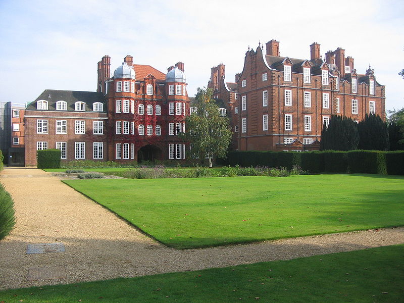
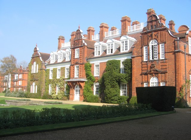
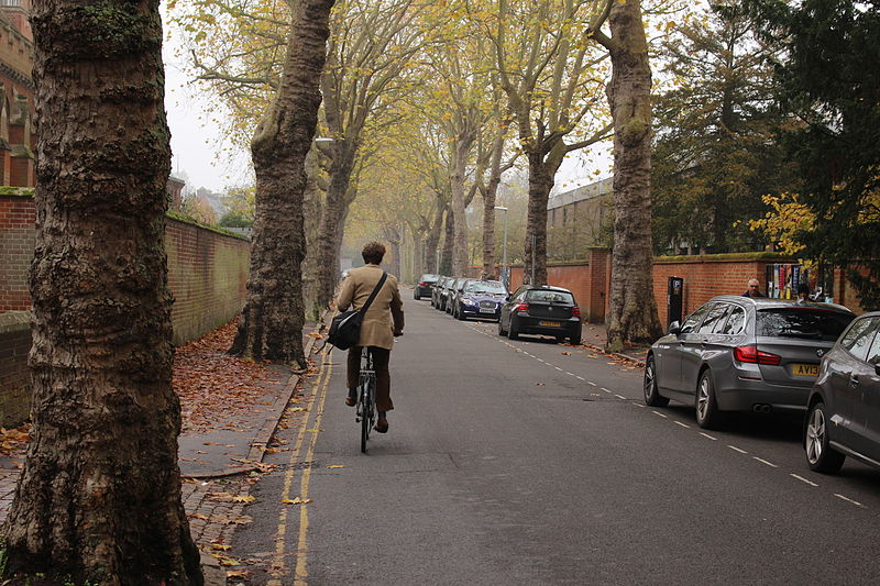
Sidgwick Avenue is a road located in western Cambridge, England. The avenue runs east-west and links Grange Road to the west with Queen's Road to the east. The line of the road continues northeast into central Cambridge as Silver Street. Sidgwick Avenue is flanked by Newnham College, Ridley Hall, Selwyn College, and the Sidgwick Site of the University of Cambridge. ()
Coordinates: 52°12'0"N, 0°6'29"E
Address
Sidgwick AveNewnhamCambridge CB3 9DD
Contact
+44 1223 762330
Social media
Add
Day trips
Sidgwick Avenue – popular in the area (distance from the attraction)
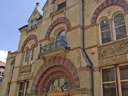
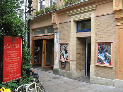
Nearby attractions include: Primavera, Mathematical Bridge, Cambridge Corn Exchange, Cambridge Arts Theatre.
Frequently Asked Questions (FAQ)
Which popular attractions are close to Sidgwick Avenue?
Nearby attractions include Newnham College, Cambridge (1 min walk), Sidgwick Site, Cambridge (2 min walk), Marshall Library of Economics, Cambridge (2 min walk), Casimir Lewy Library, Cambridge (3 min walk).
How to get to Sidgwick Avenue by public transport?
The nearest stations to Sidgwick Avenue:
Bus
Bus
- University Library • Lines: U (6 min walk)
- Grantchester Street • Lines: 18, 199, 75 (6 min walk)


