Chelsea Bridge, London
Map
Gallery
Facts and practical information
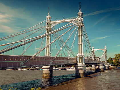
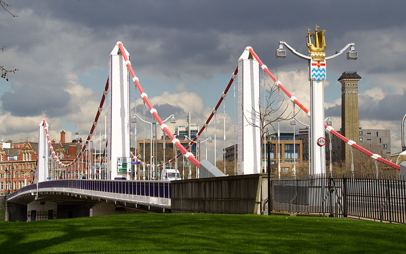
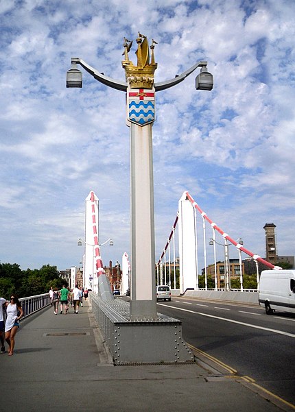
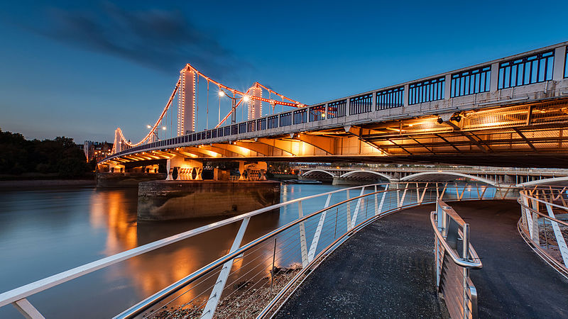
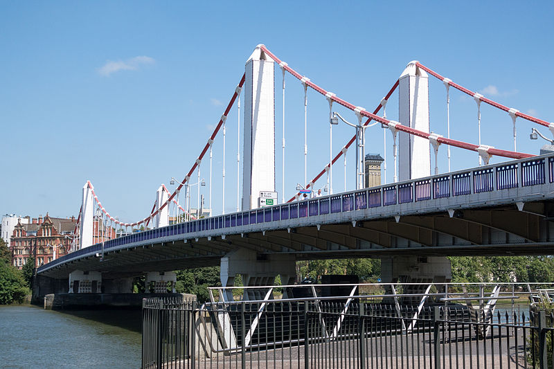
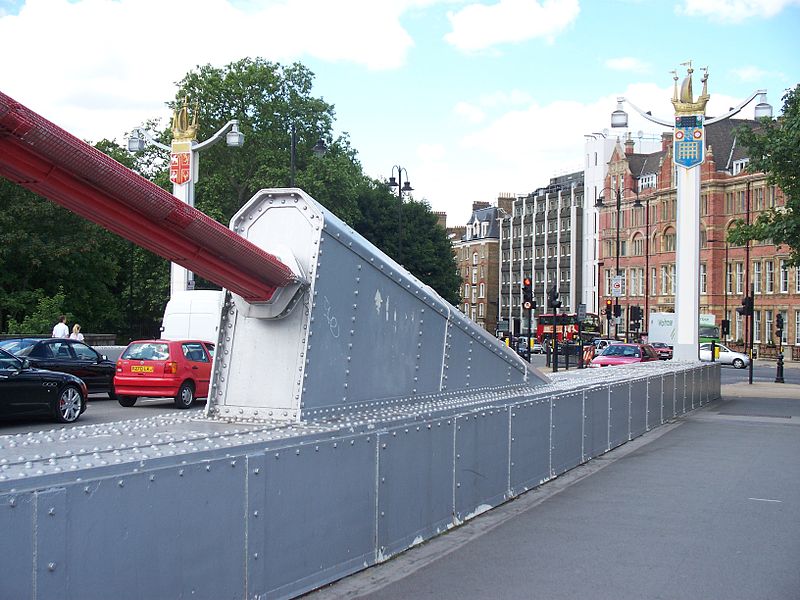
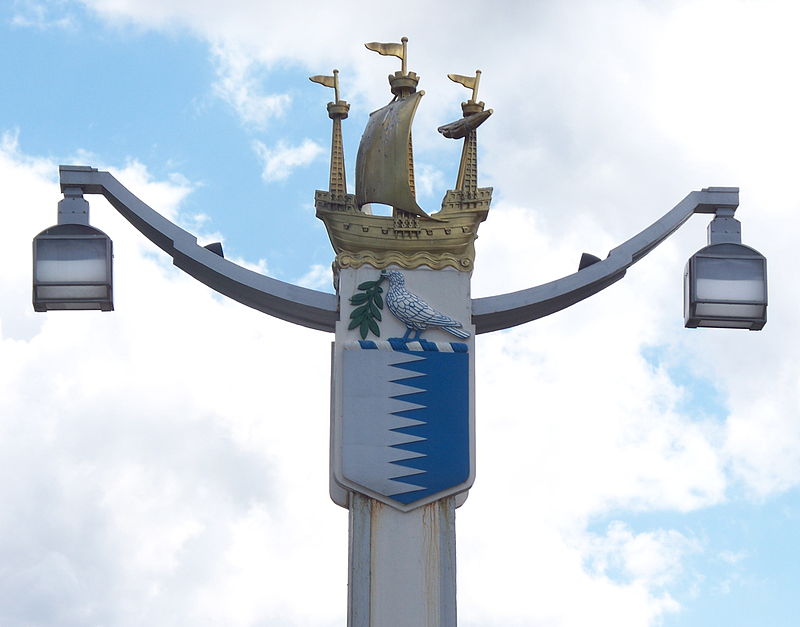
Chelsea Bridge is a bridge over the River Thames in west London, connecting Chelsea on the north bank to Battersea on the south bank, and split between the City of Westminster, the London Borough of Wandsworth and the Royal Borough of Kensington and Chelsea. There have been two Chelsea Bridges, on the site of what was an ancient ford. ()
Day trips
Chelsea Bridge – popular in the area (distance from the attraction)
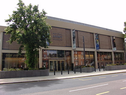
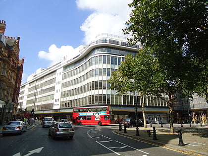
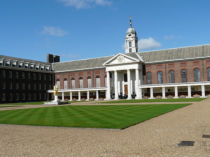
Nearby attractions include: Saatchi Gallery, National Army Museum, Peter Jones, Royal Hospital.
Frequently Asked Questions (FAQ)
When is Chelsea Bridge open?
Chelsea Bridge is open:
- Monday 24h
- Tuesday 24h
- Wednesday 24h
- Thursday 24h
- Friday 24h
- Saturday 24h
- Sunday 24h
Which popular attractions are close to Chelsea Bridge?
Nearby attractions include Grosvenor Bridge, London (3 min walk), 24th East Surrey Division War Memorial, London (8 min walk), Statue of Charles II, London (11 min walk), Royal Hospital, London (11 min walk).
How to get to Chelsea Bridge by public transport?
The nearest stations to Chelsea Bridge:
Bus
Ferry
Metro
Train
Bus
- Battersea Park / Chelsea Gate • Lines: 137, 44, 452, N137, N44 (3 min walk)
- Lister Hospital • Lines: 137, 360, 44, 452, N137, N44 (4 min walk)
Ferry
- Battersea Power Station Pier • Lines: Rb1, Rb2, Rb6 (5 min walk)
- Cadogan Pier • Lines: Rb6 (19 min walk)
Metro
- Battersea Power Station • Lines: Northern (11 min walk)
- Sloane Square (17 min walk)
Train
- Battersea Park (12 min walk)
- Queenstown Road (17 min walk)



 Tube
Tube
