Statue of Charles II, London
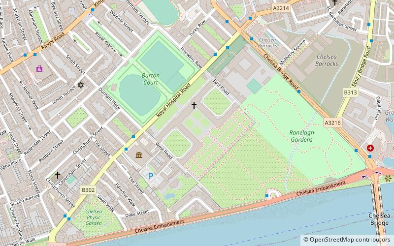
Map
Facts and practical information
The statue of Charles II stands in the Figure, or Middle, Court of the Royal Hospital, Chelsea, London. The sculptor was Grinling Gibbons, and the statue was executed around 1680–1682. The king founded the Royal Hospital in 1682 as a home for retired army veterans. The statue is a Grade I listed structure. ()
Coordinates: 51°29'14"N, 0°9'28"W
Address
Kensington and Chelsea (Chelsea)London
ContactAdd
Social media
Add
Getting there by public transportation
Public transportation stops near this location
- Metro
- Bus
- Train
- Ferry
 Metro
Metro
- Calculate routeNational Army Museum 4 min walk
- Calculate routeRoyal Hospital Chelsea 5 min walk
- Calculate routeBull Ring Gate 5 min walk
- Calculate routeSloane Square 10 min walk
- Calculate routeSouth Kensington 21 min walk
- Calculate routeBattersea Power Station 21 min walk
- Calculate routeVictoria 23 min walk
- Calculate routeCadogan Pier 13 min walk
- Calculate routeBattersea Power Station Pier 15 min walk
- Calculate routeChelsea Harbour Pier 34 min walk
- Calculate routeLondon Victoria 20 min walk
- Calculate routeBattersea Park 21 min walk
- Calculate routeQueenstown Road 25 min walk
- Calculate routeImperial Wharf 35 min walk
Maps Tube
Tube
TubeDay trips


Frequently Asked Questions (FAQ)
Which popular attractions are close to Statue of Charles II?
Nearby attractions include Royal Hospital, London (1 min walk), National Army Museum, London (4 min walk), Saatchi Gallery, London (7 min walk), Chelsea Physic Garden, London (7 min walk).
How to get to Statue of Charles II by public transport?
The nearest stations to Statue of Charles II:
Bus
Metro
Ferry
Train
Bus
- National Army Museum • Lines: 170 (4 min walk)
- Royal Hospital Chelsea • Lines: 137, 360, 452, N137 (5 min walk)
Metro
- Sloane Square (10 min walk)
- South Kensington • Lines: Circle, District, Piccadilly (21 min walk)
Ferry
- Cadogan Pier • Lines: Rb6 (13 min walk)
- Battersea Power Station Pier • Lines: Rb1, Rb2, Rb6 (15 min walk)
Train
- London Victoria (20 min walk)
- Battersea Park (21 min walk)