Grosvenor Bridge, London
Map
Map

Facts and practical information
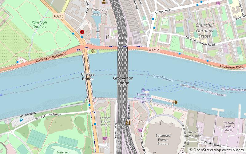
Grosvenor Bridge, originally known as, and alternatively called Victoria Railway Bridge, is a railway bridge over the River Thames in London, between Vauxhall Bridge and Chelsea Bridge. Originally constructed in 1860, and widened in 1865 and 1907, the bridge was extensively rebuilt and widened again in the 1960s as an array of ten parallel bridges. ()
Address
Wandsworth (Queenstown)London
ContactAdd
Social media
Add
Day trips
Grosvenor Bridge – popular in the area (distance from the attraction)
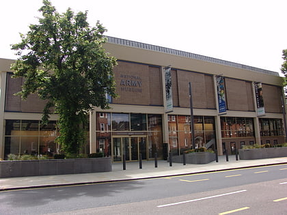
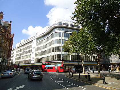
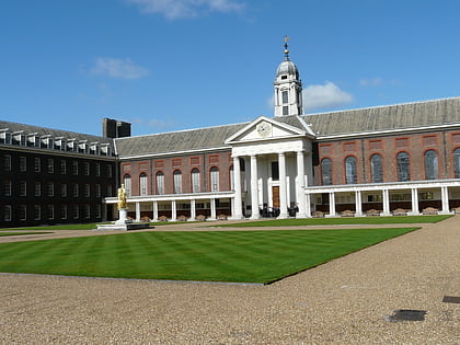
Nearby attractions include: Saatchi Gallery, National Army Museum, Peter Jones, Royal Hospital.
Frequently Asked Questions (FAQ)
Which popular attractions are close to Grosvenor Bridge?
Nearby attractions include Chelsea Bridge, London (3 min walk), 24th East Surrey Division War Memorial, London (10 min walk), St Gabriel's, London (11 min walk), Warwick Square, London (12 min walk).
How to get to Grosvenor Bridge by public transport?
The nearest stations to Grosvenor Bridge:
Ferry
Bus
Metro
Train
Ferry
- Battersea Power Station Pier • Lines: Rb1, Rb2, Rb6 (2 min walk)
- Cadogan Pier • Lines: Rb6 (22 min walk)
Bus
- Battersea Park / Chelsea Gate • Lines: 137, 44, 452, N137, N44 (4 min walk)
- Lister Hospital • Lines: 137, 360, 44, 452, N137, N44 (5 min walk)
Metro
- Battersea Power Station • Lines: Northern (10 min walk)
- Pimlico • Lines: Victoria (16 min walk)
Train
- Battersea Park (13 min walk)
- Queenstown Road (17 min walk)

 Tube
Tube
