Waseley Hills Country Park

Gallery (3)
Map

Map
Gallery
Facts and practical information
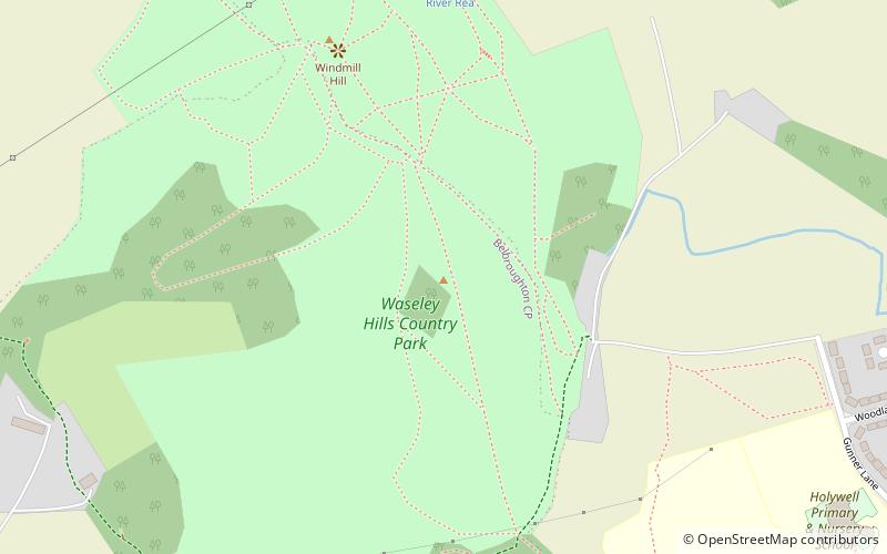
Waseley Hills Country Park is 150 acres a Country Park and Local Nature Reserve owned and managed by Worcestershire County Council's Countryside Service. It consists of rolling open hills with old hedgerows, pastures and small pockets of woodland with panoramic views over Worcestershire, England. ()
Elevation: 912 ft a.s.l.Coordinates: 52°23'47"N, 2°2'25"W
Day trips