Frankley Reservoir, Birmingham
Map

Map

Facts and practical information
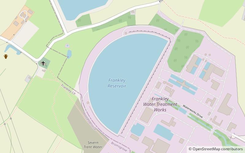
Frankley Reservoir is a semi-circular reservoir for drinking water in Birmingham, England, operated by Severn Trent Water. Its construction was authorised by the Birmingham Corporation Water Act of 1892. It was built by Birmingham Corporation Water Department to designs by Abram Kellett of Ealing in 1904. ()
Elevation: 568 ft a.s.l.Coordinates: 52°25'16"N, 1°59'51"W
Address
Bartley GreenBirmingham
ContactAdd
Social media
Add
Day trips
Frankley Reservoir – popular in the area (distance from the attraction)
Nearby attractions include: Senneleys Park, St Leonard's Church, Weoley Castle, St Gabriel's Church.
Frequently Asked Questions (FAQ)
Which popular attractions are close to Frankley Reservoir?
Nearby attractions include St Leonard's Church, Birmingham (7 min walk), Bartley Reservoir, Birmingham (13 min walk).
How to get to Frankley Reservoir by public transport?
The nearest stations to Frankley Reservoir:
Bus
Bus
- Bristol Road South / Lockwood Rd • Lines: 19 (31 min walk)
- Bell Lane • Lines: 63 (31 min walk)


