Queen's Road, Cambridge
Map

Gallery

Facts and practical information
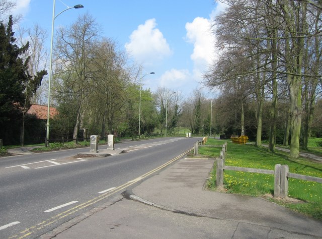
Queen's Road is a major road to the west of central Cambridge, England. It links with Madingley Road and Northampton Street to the north with Sidgwick Avenue, Newnham Road and Silver Street to the south. ()
Coordinates: 52°12'14"N, 0°6'43"E
Address
NewnhamCambridge
ContactAdd
Social media
Add
Day trips
Queen's Road – popular in the area (distance from the attraction)
Nearby attractions include: King's College Chapel, The Backs, Corpus Clock, Market Hill.
Frequently Asked Questions (FAQ)
Which popular attractions are close to Queen's Road?
Nearby attractions include University of Cambridge, Cambridge (2 min walk), The Backs, Cambridge (2 min walk), King's College Bridge, Cambridge (3 min walk), Clare College Bridge, Cambridge (3 min walk).
How to get to Queen's Road by public transport?
The nearest stations to Queen's Road:
Bus
Train
Bus
- University Library • Lines: U (4 min walk)
- Queens' College • Lines: U (6 min walk)
Train
- Cambridge (33 min walk)


