Falkirk Steeple, Falkirk
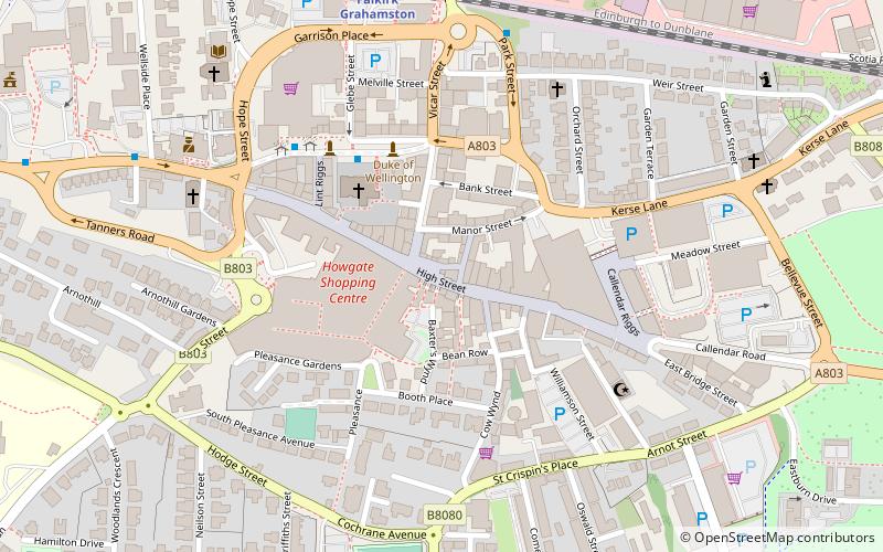
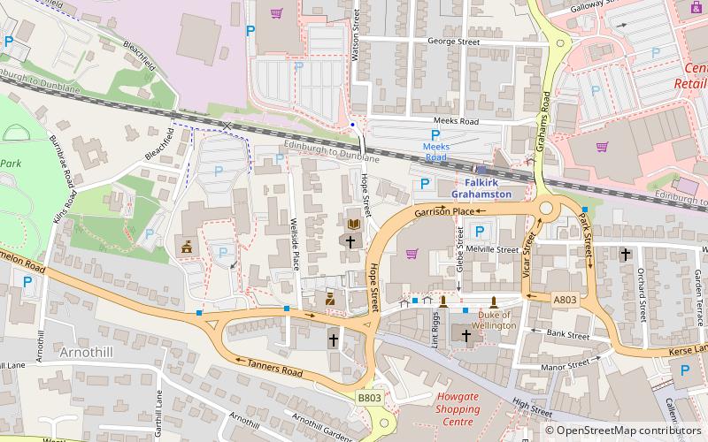
Map

Map

Facts and practical information
The Falkirk Steeple is a landmark which dominates the skyline of Falkirk in central Scotland. The present structure on the High Street was built in 1814, and replaced an earlier steeple dating from the late 17th century, which itself replaced a still earlier structure. The Falkirk Steeple is protected as a category A listed building. A stylised image of the steeple appears on the crest of Falkirk Football Club. ()
Opened: 1814 (212 years ago)Coordinates: 55°59'57"N, 3°47'3"W
Address
Falkirk
ContactAdd
Social media
Add
Day trips
Falkirk Steeple – popular in the area (distance from the attraction)
Nearby attractions include: Falkirk Stadium, Callendar House, Falkirk Old Parish Church, Falkirk Public Library.
Frequently Asked Questions (FAQ)
Which popular attractions are close to Falkirk Steeple?
Nearby attractions include Falkirk Old Parish Church, Falkirk (3 min walk), The Wine Library, Falkirk (3 min walk), Falkirk Public Library, Falkirk (7 min walk), Callendar House, Falkirk (19 min walk).
How to get to Falkirk Steeple by public transport?
The nearest stations to Falkirk Steeple:
Train
Train
- Falkirk Grahamston (6 min walk)
- Falkirk High (16 min walk)


