Otford Palace
Map

Map

Facts and practical information
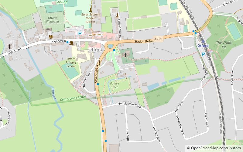
Otford Palace, also known as the Archbishop's Palace, is in Otford, an English village and civil parish in the Sevenoaks District of Kent. The village is located on the River Darent, flowing north down its valley from its source on the North Downs. ()
Coordinates: 51°18'41"N, 0°11'29"E
Day trips
Otford Palace – popular in the area (distance from the attraction)
Nearby attractions include: Fackenden Down, Polhill Bank, Otford, Magpie Bottom.


