Otford
Map

Map

Facts and practical information
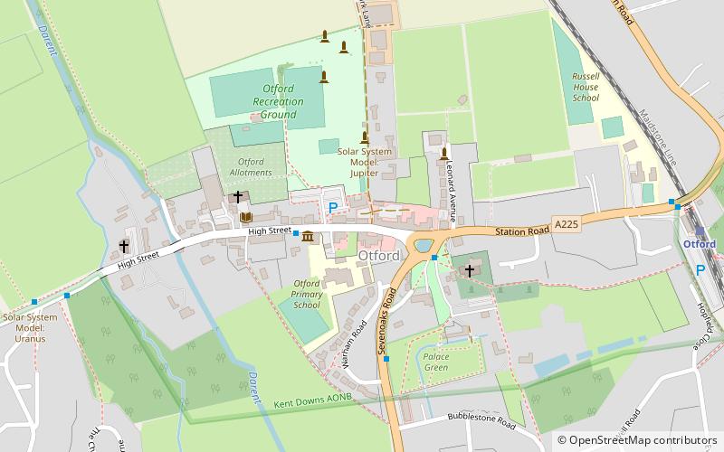
Otford is a village and civil parish in the Sevenoaks District of Kent, England. It lies on the River Darent, 3 miles north of Sevenoaks. Otford's four churches are the Anglican Church of St Bartholomew in the village centre, the Otford Methodist Church, the Most Holy Trinity Roman Catholic Church, and the Otford Evangelical Church. By the village pond, also a roundabout, there are pubs, cafes and shops. The village has three schools, Otford Primary School, St Michael's Prep School, and Russell House. ()
Location
England
ContactAdd
Social media
Add
Day trips
Otford – popular in the area (distance from the attraction)
Nearby attractions include: Otford Palace, Fackenden Down, Polhill Bank, Magpie Bottom.


