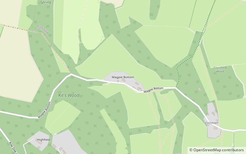
Magpie Bottom, Kent Downs

Gallery (1)
Map
Map
Facts and practical information
Magpie Bottom is a 51.9-hectare biological Site of Special Scientific Interest north of Sevenoaks in Kent. ()
Coordinates: 51°19'38"N, 0°12'56"E
Address
Kent Downs
ContactAdd
Social media
Add
Getting there by public transportation
Public transportation stops near this location
- Bus
- Train
 Bus
Bus
- Calculate routeShoreham Railway Station 30 min walk
- Calculate routeOtford Railway Station 33 min walk
- Calculate routeChurch 38 min walk
- Calculate routeShoreham 31 min walk
- Calculate routeOtford 33 min walk
Day trips


Frequently Asked Questions (FAQ)
How to get to Magpie Bottom by public transport?
The nearest stations to Magpie Bottom:
Bus
Train
Bus
- Shoreham Railway Station • Lines: 2 (30 min walk)
- Otford Railway Station • Lines: 2 (33 min walk)
Train
- Shoreham (31 min walk)
- Otford (33 min walk)