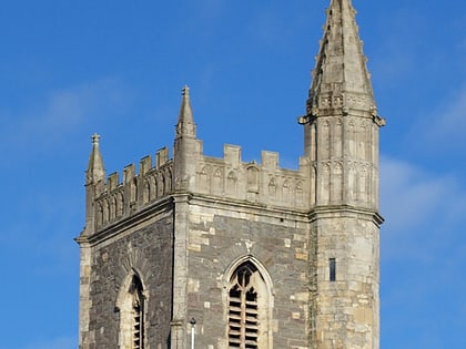
St Peter's Church, Bristol
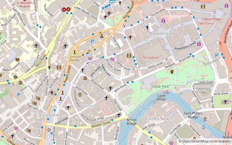
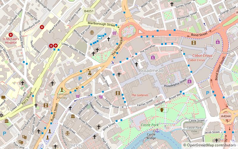
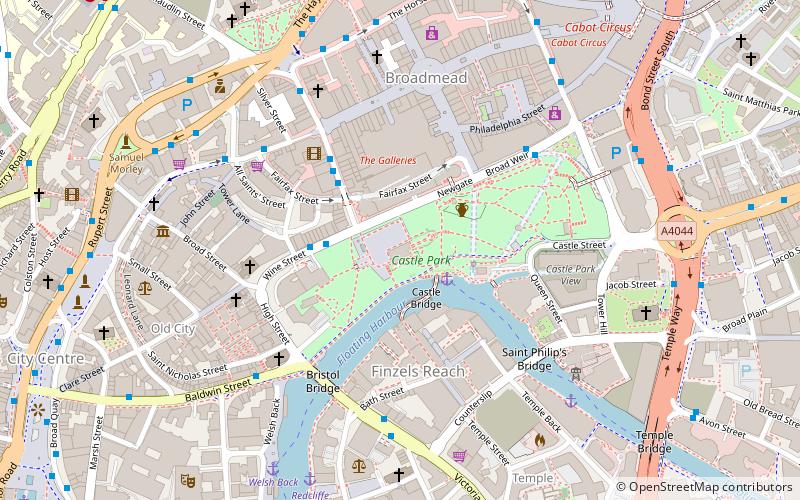
Map
Gallery
Facts and practical information
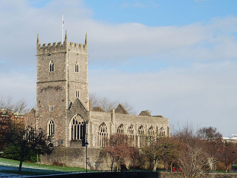
St Peter's Church is a ruined church in Castle Park, Bristol, England. It was bombed during World War II and is now preserved as a memorial. ()
Coordinates: 51°27'19"N, 2°35'23"W
Day trips
St Peter's Church – popular in the area (distance from the attraction)
Nearby attractions include: Broadmead, The Galleries, Castle Park, St Mary le Port Church.
Frequently Asked Questions (FAQ)
When is St Peter's Church open?
St Peter's Church is open:
- Monday 24h
- Tuesday 24h
- Wednesday 24h
- Thursday 24h
- Friday 24h
- Saturday 24h
- Sunday 24h
Which popular attractions are close to St Peter's Church?
Nearby attractions include Northern Stormwater Interceptor, Bristol (2 min walk), Mary le Port Street, Bristol (3 min walk), Castle Park, Bristol (3 min walk), St Mary le Port Church, Bristol (3 min walk).
How to get to St Peter's Church by public transport?
The nearest stations to St Peter's Church:
Bus
Ferry
Train
Bus
- Wine Street • Lines: 92 (2 min walk)
- Union Street • Lines: 92 (4 min walk)
Ferry
- City Centre • Lines: Hotwells-Centre (11 min walk)
- Prince Street Bridge • Lines: Hotwells-Centre (15 min walk)
Train
- Bristol Temple Meads (16 min walk)
- Princes Wharf (16 min walk)


