Bierkeller Theatre, Bristol

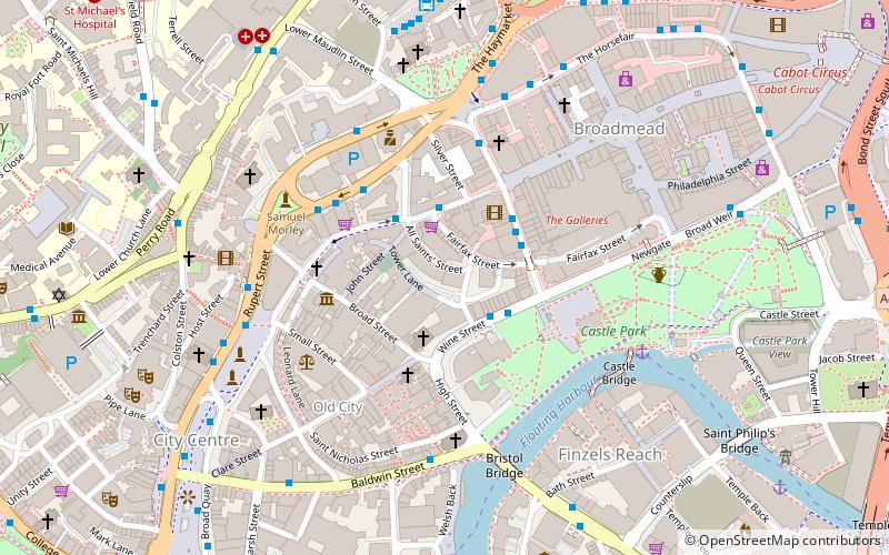
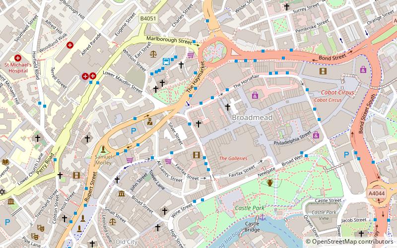
Map
Facts and practical information
Coordinates: 51°27'21"N, 2°35'33"W
Address
All Saints St.CabotBristol
Contact
+44 117 926 8514
Social media
Add
Day trips
Bierkeller Theatre – popular in the area (distance from the attraction)
Nearby attractions include: Broadmead, The Galleries, Castle Park, St Mary le Port Church.
Frequently Asked Questions (FAQ)
Which popular attractions are close to Bierkeller Theatre?
Nearby attractions include The Crown, Bristol (2 min walk), Wine Street, Bristol (2 min walk), Mary le Port Street, Bristol (3 min walk), All Saints' Church, Bristol (3 min walk).
How to get to Bierkeller Theatre by public transport?
The nearest stations to Bierkeller Theatre:
Bus
Ferry
Train
Bus
- Wine Street • Lines: 92 (2 min walk)
- Nelson Street • Lines: 43, 8, 9 (2 min walk)
Ferry
- City Centre • Lines: Hotwells-Centre (9 min walk)
- Prince Street Bridge • Lines: Hotwells-Centre (15 min walk)
Train
- Princes Wharf (15 min walk)
- Bristol Temple Meads (18 min walk)


