Bristol Bridge, Bristol
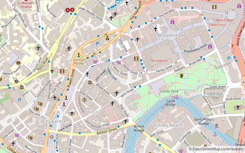
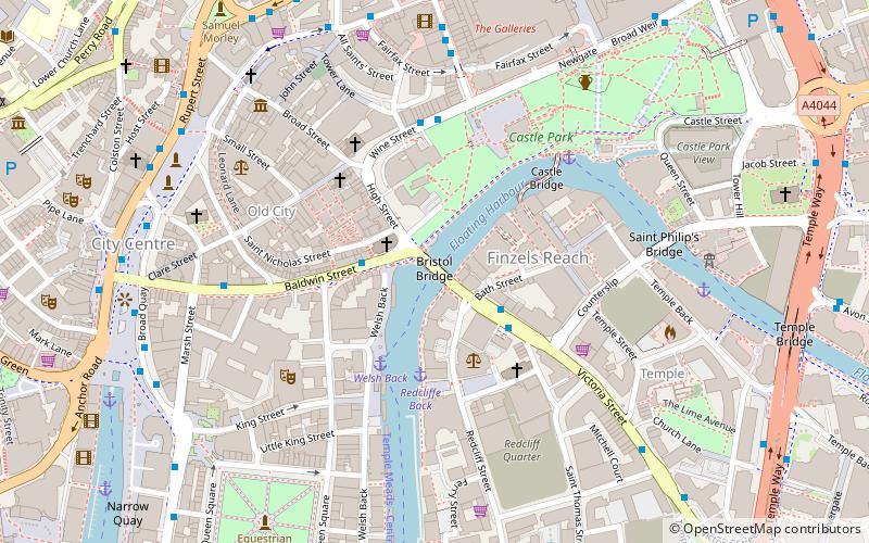
Map
Gallery
Facts and practical information
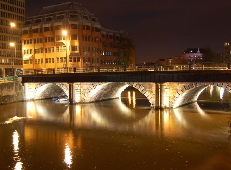
Bristol Bridge is a bridge over the floating harbour in Bristol, England. The floating harbour was constructed on the original course of the River Avon, and there has been a bridge on the site since long before the harbour was created by impounding the river in 1809. The current bridge was completed in 1768 and is a Grade II listed building. ()
Opened: 1768 (258 years ago)Coordinates: 51°27'13"N, 2°35'29"W
Address
Union StBristol BS1
ContactAdd
Social media
Add
Day trips
Bristol Bridge – popular in the area (distance from the attraction)
Nearby attractions include: The Old Duke, Castle Park, St Mary le Port Church, St Peter's Church.
Frequently Asked Questions (FAQ)
Which popular attractions are close to Bristol Bridge?
Nearby attractions include St Nicholas, Bristol (2 min walk), Castle Park, Bristol (2 min walk), St Mary le Port Church, Bristol (2 min walk), Mary le Port Street, Bristol (3 min walk).
How to get to Bristol Bridge by public transport?
The nearest stations to Bristol Bridge:
Bus
Ferry
Train
Bus
- Bristol Bridge • Lines: 92 (2 min walk)
- Wine Street • Lines: 92 (4 min walk)
Ferry
- City Centre • Lines: Hotwells-Centre (8 min walk)
- Prince Street Bridge • Lines: Hotwells-Centre (11 min walk)
Train
- Princes Wharf (12 min walk)
- Bristol Temple Meads (15 min walk)


