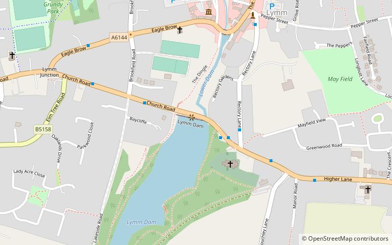
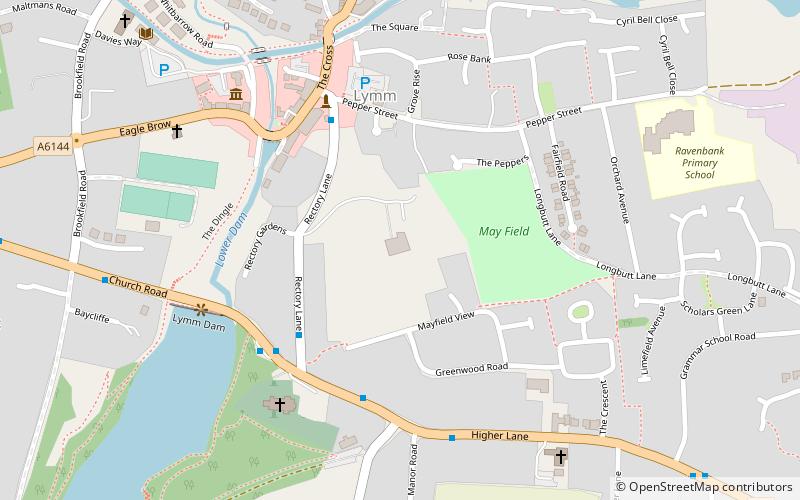
Lymm Dam, Lymm

Map
Facts and practical information
Lymm Dam is the name of a dam and lake in Lymm, Cheshire, England, an inset village in the greenbelt around Warrington. It was created in 1824 by a dam built during the construction of what is now the A56 road, when local inhabitants objected to initial plans for a route through the village centre. It may have been used to supply power to local industry, and the surrounding area. ()
Elevation: 135 ft a.s.l.Coordinates: 53°22'42"N, 2°28'48"W
Day trips
Lymm Dam – popular in the area (distance from the attraction)
Nearby attractions include: St Mary's Church, Thelwall Viaduct, St Peter's Church, Lymm Hall.
Frequently Asked Questions (FAQ)
Which popular attractions are close to Lymm Dam?
Nearby attractions include St Mary's Church, Lymm (3 min walk), Lymm Hall, Lymm (5 min walk), St Peter's Church, Lymm (21 min walk).


