Thelwall Viaduct, Lymm
#2 among attractions in Lymm


Facts and practical information
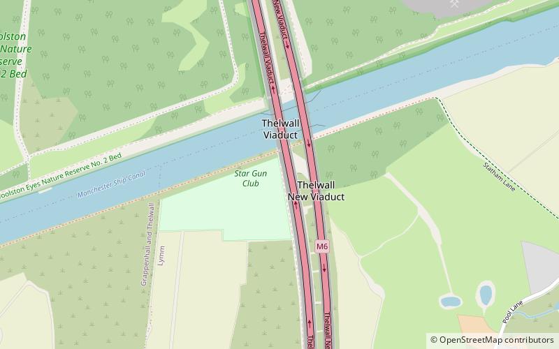
The Thelwall Viaduct is a steel composite girder viaduct in Lymm, Warrington, England. It carries the M6 motorway across the Manchester Ship Canal and the River Mersey. It is between junctions 20 and 21 of the M6, the former being also known as junction 9 of the M56. ()
Lymm United Kingdom
Thelwall Viaduct – popular in the area (distance from the attraction)
Nearby attractions include: St Wilfrid's Church, Rixton Clay Pits, St Mary's Church, Risley Moss.
 Gothic Revival architecture, Church, Gothic architecture
St Wilfrid's Church, Warrington
50 min walk • St Wilfrid's Church is in Church Lane, Grappenhall, a village in Warrington, Cheshire, England. It is designated by Historic England as a Grade I listed building.
 Park, Nature and wildlife
Rixton Clay Pits, Warrington
48 min walk • Rixton Clay Pits is a former clay extraction site in Rixton, near Hollins Green, Warrington, England. Formerly farmland, boulder clay extraction started in the 1920s for brick making in the adjacent brickworks, and ceased in 1965 - since then it has been allowed to return to nature.
 Gothic Revival architecture, Church
St Mary's Church, Lymm
36 min walk • St Mary's Church is the Anglican parish church of Lymm, Warrington, Cheshire, England, standing on a bank overlooking Lymm Dam. It is a grade II listed building. It is an active church in the diocese of Chester, the archdeaconry of Chester and the deanery of Great Budworth.
 Park
ParkRisley Moss, Warrington
60 min walk • Risley Moss is an area of peat bog situated near Birchwood in Warrington, England. It is a country park, Site of Special Scientific Interest and a Local Nature Reserve.
 Park, Garden
Grappenhall Heys Walled Garden, Warrington
67 min walk • Grappenhall Heys Walled Garden is a historic walled garden in Grappenhall, Warrington, Cheshire, England. The garden was built by Thomas Parr around 1830 as both a pleasure garden for relaxing strolls and as a kitchen garden to produce fruit, vegetables, and herbs.
 Gothic Revival architecture, Church, Travel agency
St Thomas' Church, Warrington
86 min walk • St Thomas' Church is in Stockton Heath, to the south of Warrington, Cheshire, England. The church is recorded in the National Heritage List for England as a designated Grade II listed building, and is an active Anglican parish church in the diocese of Chester, the archdeaconry of Chester and the deanery of Great Budworth.
 Church
St Werburgh's Church
57 min walk • St Werburgh's Church is the name of two separate churches in the village of Warburton, Greater Manchester, England. The older church is located to the west of the village, and may date back as far as the middle of the 13th century. It is now a redundant church but services are held in the summer months.
 Gothic Revival architecture, Church, Gothic architecture
St Elphin's Church, Warrington
78 min walk • St Elphin's Church is the parish church of the town of Warrington, Cheshire, England. The church is recorded in the National Heritage List for England as a designated Grade II* listed building. It is an active Anglican parish church in the diocese of Liverpool, the archdeaconry of Warrington and the deanery of Warrington.
 Gothic Revival architecture, Church
St Peter's Church, Lymm
50 min walk • St Peter's Church is in Oughtrington Lane, to the east of the village of Lymm, Cheshire, England. The church is recorded in the National Heritage List for England as a designated Grade II listed building.
 Park
ParkWoolston Park, Warrington
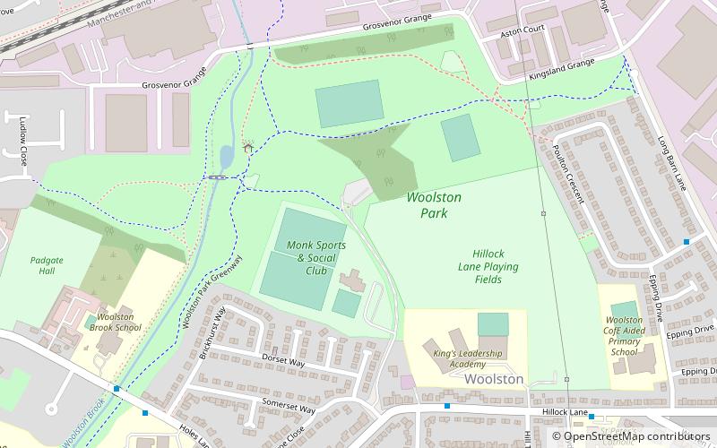
46 min walk • Woolston Park is a modern park that is situated in the civil parish of Woolston, Warrington, in the English county of Cheshire. Woolston Park covers 56 acres and was officially opened in 1977.
 Lake, Trail, Dam
Lymm Dam, Lymm
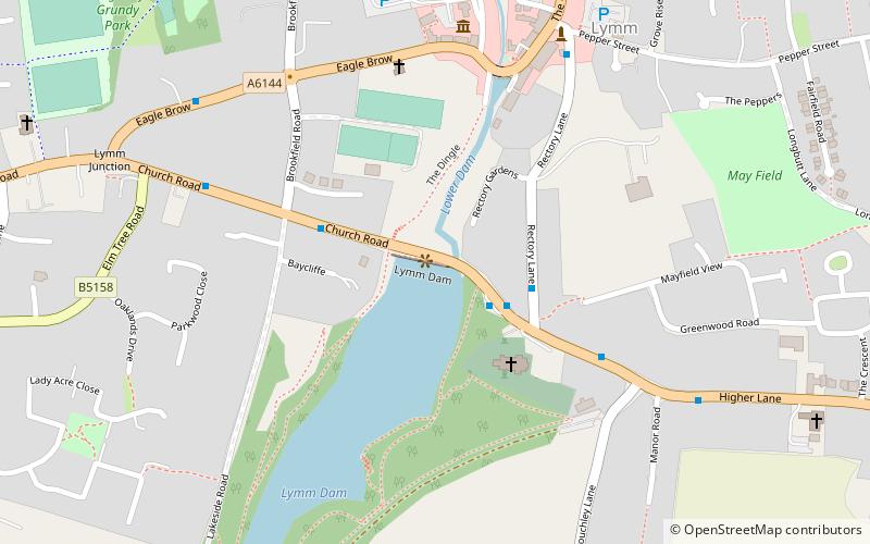
34 min walk • Lymm Dam is the name of a dam and lake in Lymm, Cheshire, England, an inset village in the greenbelt around Warrington. It was created in 1824 by a dam built during the construction of what is now the A56 road, when local inhabitants objected to initial plans for a route through the village centre.
