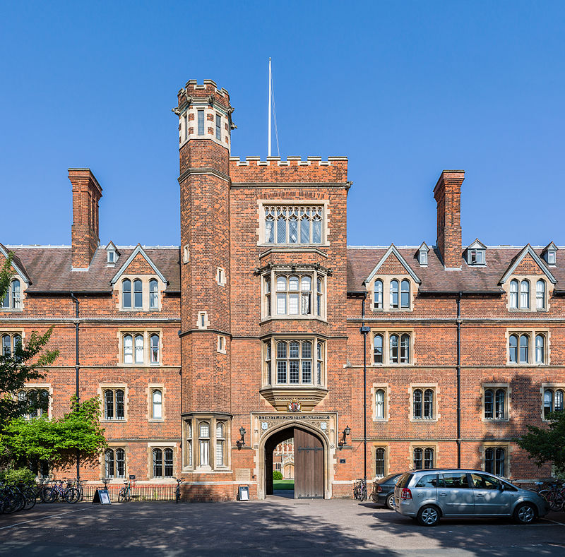
Grange Road, Cambridge
Map

Gallery

Facts and practical information
Grange Road is a street in Cambridge, England. It stretches north–south, meeting Madingley Road at a T-junction to the north and Barton Road to the south. It runs approximately parallel with the River Cam to the east. Grange Road is almost one mile long and has 17th century origins. It contains several colleges of the University of Cambridge. ()
Coordinates: 52°12'14"N, 0°6'21"E
Address
NewnhamCambridge
ContactAdd
Social media
Add
Day trips
Grange Road – popular in the area (distance from the attraction)
Nearby attractions include: The Backs, Primavera, Clare College Bridge, Garret Hostel Bridge.
Frequently Asked Questions (FAQ)
Which popular attractions are close to Grange Road?
Nearby attractions include Clare Hall, Cambridge (2 min walk), Robinson College, Cambridge (4 min walk), West Road, Cambridge (4 min walk), Cambridge University Library, Cambridge (4 min walk).
How to get to Grange Road by public transport?
The nearest stations to Grange Road:
Bus
Bus
- West Road • Lines: U (2 min walk)
- Robinson College • Lines: U (2 min walk)


