Graves Park, Sheffield
Map

Gallery

Facts and practical information
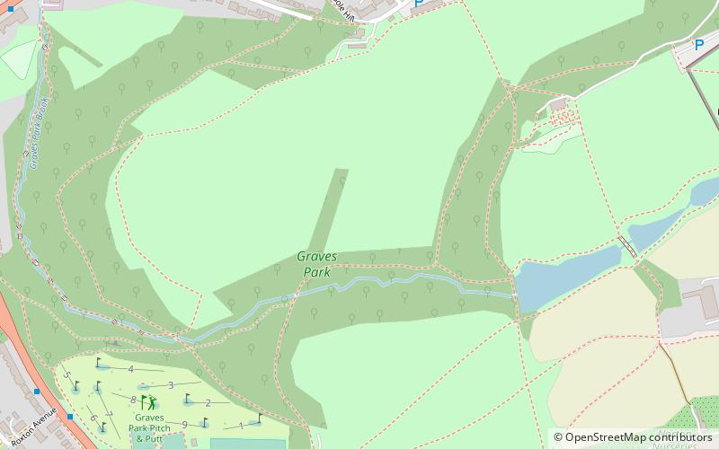
Graves Park is a large parkland area in the South of Sheffield, between the districts of Norton, Woodseats and Meadowhead. The park was developed by Alderman J. G. Graves between 1926 and 1936, to protect the thousand year old woodland from building development. Mr Graves donated the 100.362 hectares park to the city. ()
Elevation: 633 ft a.s.l.Coordinates: 53°20'11"N, 1°28'19"W
Day trips
Graves Park – popular in the area (distance from the attraction)
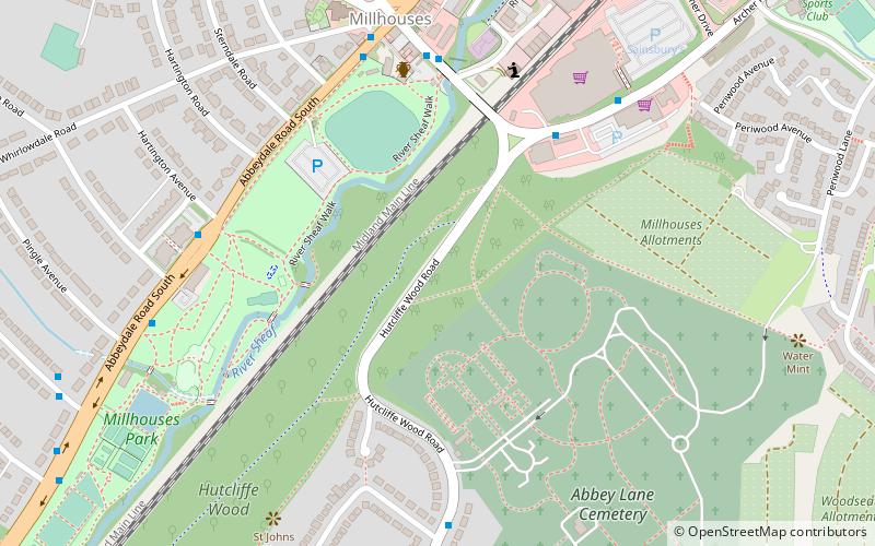
Nearby attractions include: Bishops' House, Meersbrook Park, Millhouses Park, Beauchief Abbey.
Frequently Asked Questions (FAQ)
Which popular attractions are close to Graves Park?
Nearby attractions include St James, Sheffield (11 min walk), Norton Cemetery, Sheffield (19 min walk), Oakes Park, Sheffield (21 min walk).
How to get to Graves Park by public transport?
The nearest stations to Graves Park:
Bus
Bus
- Meadowhead/Charles Ashmore Road • Lines: 75 (9 min walk)
- Chesterfield Road/Cobnar Road • Lines: 75, 76, X17, X71 (10 min walk)


