Williamson Square, Liverpool
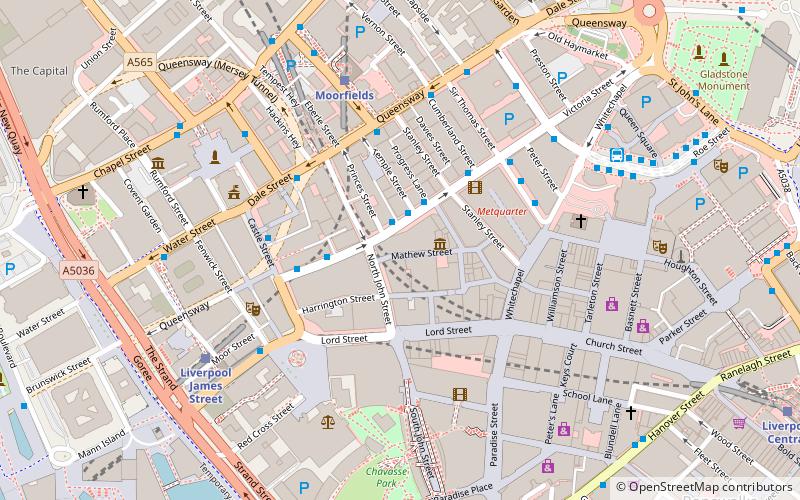
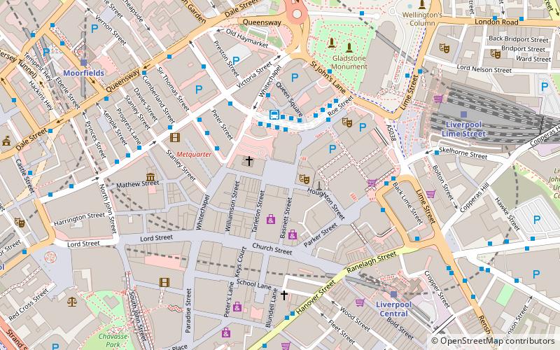
Map
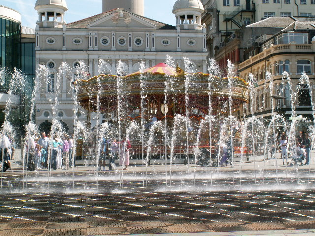
Gallery
Facts and practical information
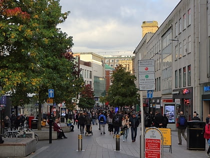
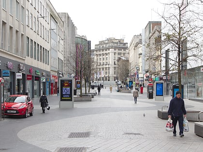
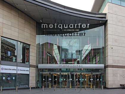
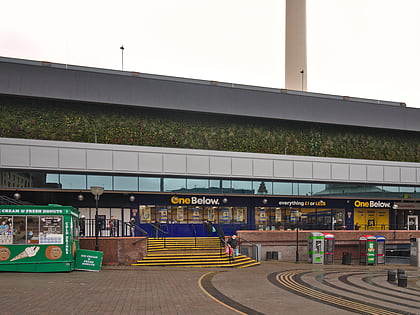
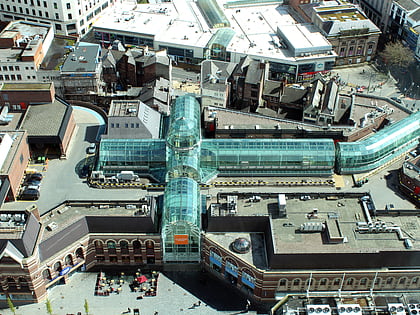
Williamson Square is in the city centre of Liverpool, England. It was initially laid out as a residential square in the 1745 by Mr Williamson. It originally only had buildings on the lower part and the other three parts were not covered. ()
Coordinates: 53°24'23"N, 2°58'60"W
Address
Central LiverpoolLiverpool
ContactAdd
Social media
Add
Day trips
Williamson Square – popular in the area (distance from the attraction)
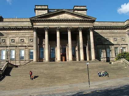
Nearby attractions include: Church Street, Bold Street, Mathew Street, World Museum.
Frequently Asked Questions (FAQ)
Which popular attractions are close to Williamson Square?
Nearby attractions include Liverpool Playhouse, Liverpool (1 min walk), St Johns Beacon, Liverpool (2 min walk), National Conservation Centre, Liverpool (3 min walk), Church Street, Liverpool (3 min walk).
How to get to Williamson Square by public transport?
The nearest stations to Williamson Square:
Bus
Train
Tram
Bus
- Queen Square Bus Station • Lines: 18, 79C (3 min walk)
- Crosshall St/stop Cx • Lines: 18 (5 min walk)
Train
- Liverpool Central (6 min walk)
- Liverpool Lime Street (7 min walk)
Tram
- Woodside Ferry • Lines: Wirral Tramway (35 min walk)

