Ryecroft, Walsall
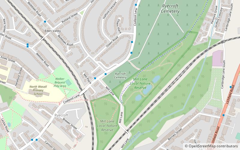
Map
Facts and practical information
Coordinates: 52°35'51"N, 1°58'38"W
Address
Walsall (Blakenall)Walsall
ContactAdd
Social media
Add
Getting there by public transportation
Public transportation stops near this location
- Bus
- Train
 Bus
Bus
- Calculate routeBloxwich Road / Northcote St 11 min walk
- Calculate routeWalsall 25 min walk
Day trips


Frequently Asked Questions (FAQ)
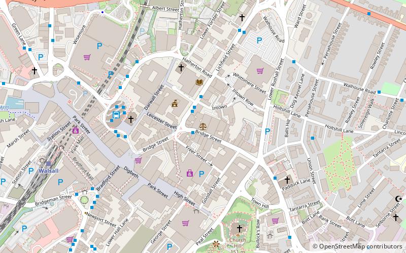
Which popular attractions are close to Ryecroft?
Nearby attractions include Walsall Local History Centre, Walsall (10 min walk), Walsall Leather Museum, Walsall (17 min walk), Walsall Council House, Walsall (20 min walk), Walsall Arboretum, Walsall (20 min walk).
How to get to Ryecroft by public transport?
The nearest stations to Ryecroft:
Bus
Train
Bus
- Bloxwich Road / Northcote St • Lines: 700 (11 min walk)
Train
- Walsall (25 min walk)