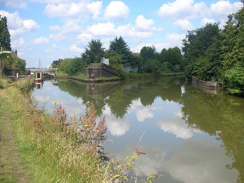
Walsall Canal, Walsall
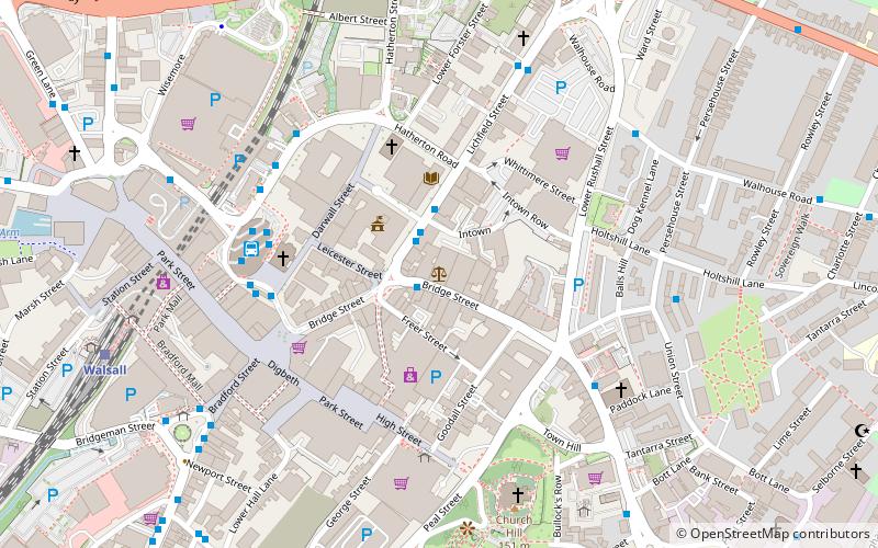
Map
Gallery
Facts and practical information
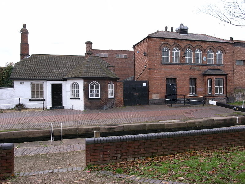
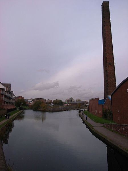
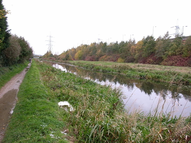
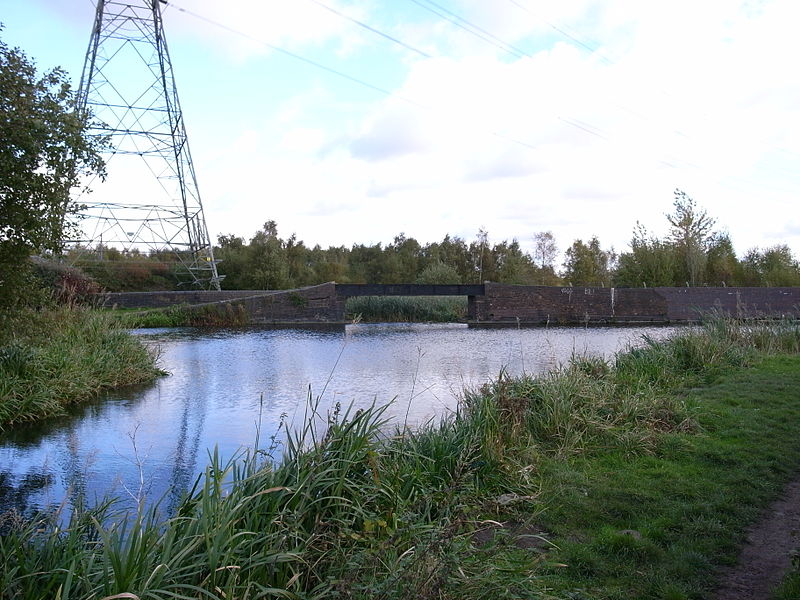
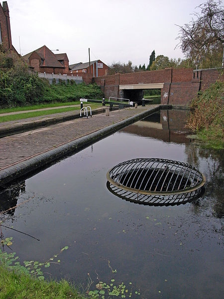
The Walsall Canal is a narrow canal, seven miles long, forming part of the Birmingham Canal Navigations, and passing around the western side of Walsall, West Midlands, England. ()
Coordinates: 52°35'5"N, 1°59'34"W
Address
Walsall (Pleck)Walsall
ContactAdd
Social media
Add
Day trips
Walsall Canal – popular in the area (distance from the attraction)
Nearby attractions include: Saddlers Centre, The New Art Gallery Walsall, Walsall Town Hall, Walsall Council House.
Frequently Asked Questions (FAQ)
Which popular attractions are close to Walsall Canal?
Nearby attractions include St Andrew's Church, Walsall (7 min walk), The New Art Gallery Walsall, Walsall (8 min walk), Walsall Leather Museum, Walsall (13 min walk), Walsall Town Hall, Walsall (14 min walk).
How to get to Walsall Canal by public transport?
The nearest stations to Walsall Canal:
Bus
Train
Bus
- Wolverhampton Road / Hollyhedge Lane • Lines: 529, X529 (4 min walk)
- Bridgeman St / Queen St • Lines: 39 (4 min walk)
Train
- Walsall (9 min walk)


