Brockwell Park, London
Map
Gallery
Facts and practical information
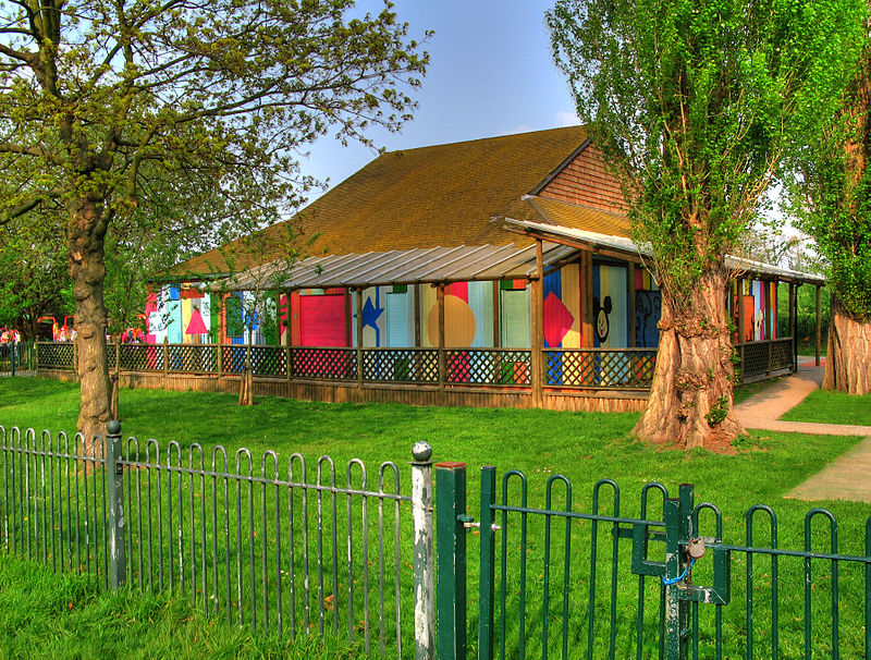
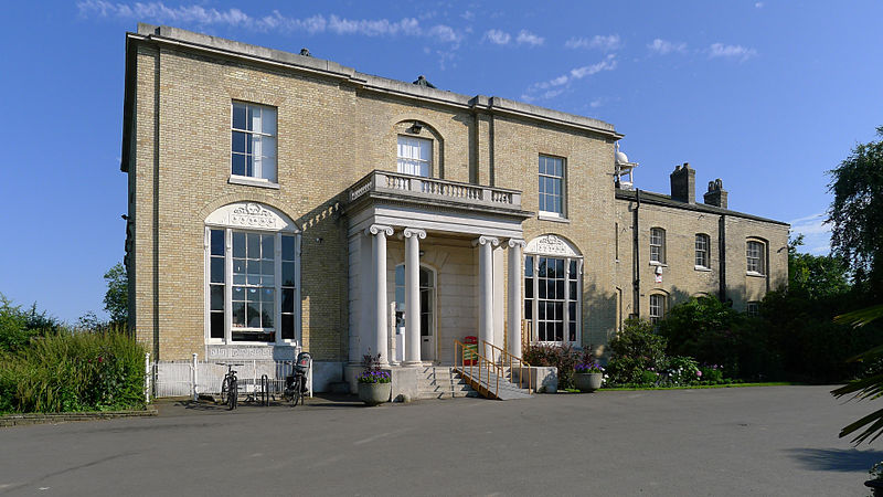
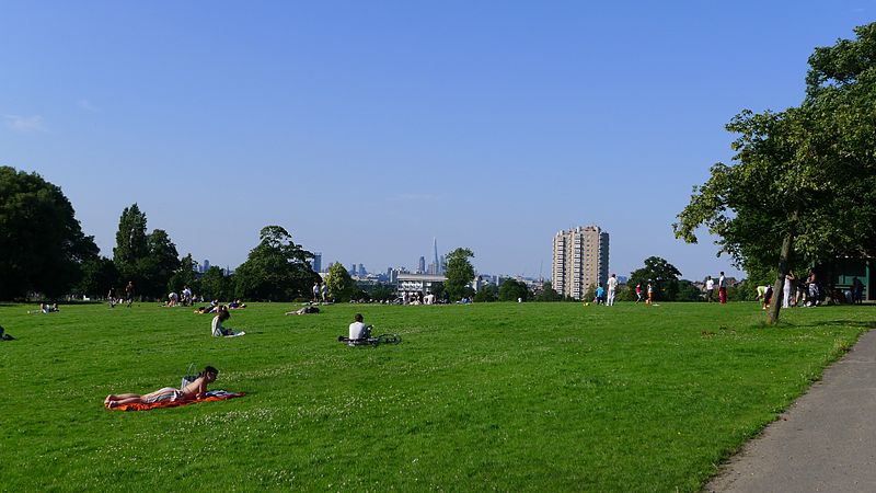
Brockwell Park is a 50.8 hectare park located south of Brixton, in Herne Hill and Tulse Hill in south London. It is bordered by the roads Brixton Water Lane, Norwood Road, Tulse Hill and Dulwich Road. ()
Area: 123.55 acres (0.1931 mi²)Elevation: 121 ft a.s.l.Coordinates: 51°27'1"N, 0°6'26"W
Day trips
Brockwell Park – popular in the area (distance from the attraction)
Nearby attractions include: Electric Brixton, Brockwell Lido, Dulwich Picture Gallery, The Duke of Edinburgh.
Frequently Asked Questions (FAQ)
Which popular attractions are close to Brockwell Park?
Nearby attractions include 198 Contemporary Arts & Learning, London (8 min walk), South London Botanical Institute, London (13 min walk), Rush Common, London (16 min walk), The Windmill, London (20 min walk).
How to get to Brockwell Park by public transport?
The nearest stations to Brockwell Park:
Bus
Train
Metro
Bus
- Rosendale Road • Lines: 196, 322, 468, 68, 690, N68 (7 min walk)
- Brockwell Park Gardens • Lines: 196, 322, 468, 68, 690, N68 (8 min walk)
Train
- Herne Hill (8 min walk)
- Tulse Hill (19 min walk)
Metro
- Brixton • Lines: Victoria (24 min walk)
- Clapham North • Lines: Northern (37 min walk)



 Tube
Tube

