Morleys, London
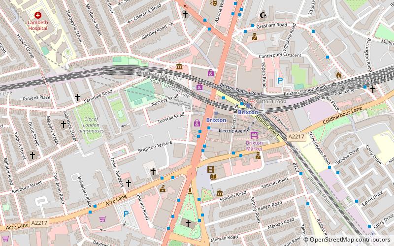
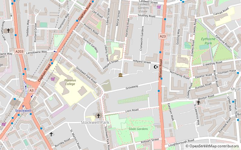
Map

Map

Facts and practical information
Morleys Stores is a group of eight department stores in Greater London, a business-to-business furniture supply subsidiary called Morley's of Bicester Ltd and a department store & furniture centre called Camp Hopson of Newbury in Newbury, Berkshire. The group is named after the original store that opened in Brixton, south London as Morley & Lanceley. Note that the firm is unrelated to the London fast foods restaurant chain. ()
Coordinates: 51°27'45"N, 0°6'56"W
Address
472-488 Brixton RoadLambeth (Ferndale)London
Contact
+44 20 7274 6246
Social media
Add
Day trips
Morleys – popular in the area (distance from the attraction)
Nearby attractions include: Electric Brixton, Brockwell Lido, The Duke of Edinburgh, Brixton Academy.
Frequently Asked Questions (FAQ)
Which popular attractions are close to Morleys?
Nearby attractions include Lambeth Town Hall, London (2 min walk), Brixton Market, London (2 min walk), Windrush Square, London (3 min walk), Brixton Mosque, London (4 min walk).
How to get to Morleys by public transport?
The nearest stations to Morleys:
Metro
Bus
Train
Metro
- Brixton • Lines: Victoria (2 min walk)
- Clapham North • Lines: Northern (17 min walk)
Bus
- Electric Lane • Lines: P5 (3 min walk)
- Gresham Road / Brixton Police Station • Lines: 345, 35, 45, P4 (6 min walk)
Train
- Brixton (3 min walk)
- Loughborough Junction (17 min walk)

 Tube
Tube


