Sherdley Park, St Helens
Map

Map

Facts and practical information
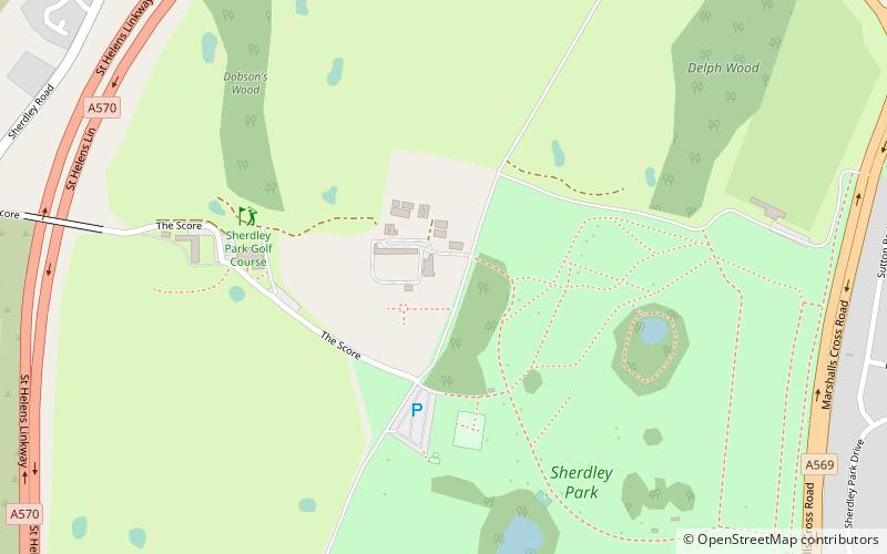
Sherdley Park is a 336 acre urban park in Sutton, St Helens, Merseyside. ()
Elevation: 194 ft a.s.l.Coordinates: 53°26'2"N, 2°43'55"W
Address
St Helens
ContactAdd
Social media
Add
Day trips
Sherdley Park – popular in the area (distance from the attraction)
Nearby attractions include: Totally Wicked Stadium, Church of St Helen, All Saints' Church, St John the Evangelist.
Frequently Asked Questions (FAQ)
Which popular attractions are close to Sherdley Park?
Nearby attractions include St Nicholas Church, St Helens (16 min walk), Sutton Mill Dam, St Helens (22 min walk).
How to get to Sherdley Park by public transport?
The nearest stations to Sherdley Park:
Train
Bus
Train
- Lea Green (15 min walk)
- Thatto Heath (30 min walk)
Bus
- Parr Stocks Rd/Ramford St • Lines: 329 (36 min walk)


