Sutton Mill Dam, St Helens
Map

Map

Facts and practical information
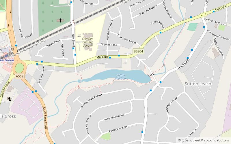
The Sutton Mill Dam is a wildlife nature park and area of open water located in Sutton in the south of St Helens in Merseyside, England. Sandwiched between Clock Face Road, Leach Lane, and Mill Lane, it measures 360 metres in length with a waterfall at its eastern end. The lake is formed from the Sutton Brook, which flows through Sutton from Chester Lane to Jackson Street and ultimately into the St Helens Canal. ()
Elevation: 164 ft a.s.l.Coordinates: 53°25'34"N, 2°43'1"W
Address
St Helens
ContactAdd
Social media
Add
Day trips
Sutton Mill Dam – popular in the area (distance from the attraction)
Nearby attractions include: Dream Sculpture, All Saints' Church, The Wheatsheaf, Sherdley Park.
Frequently Asked Questions (FAQ)
Which popular attractions are close to Sutton Mill Dam?
Nearby attractions include St Nicholas Church, St Helens (6 min walk), Sherdley Park, St Helens (22 min walk).
How to get to Sutton Mill Dam by public transport?
The nearest stations to Sutton Mill Dam:
Train
Train
- Lea Green (9 min walk)
- St Helens Junction (23 min walk)


