Peel Park, Bradford
Map
Gallery
Facts and practical information
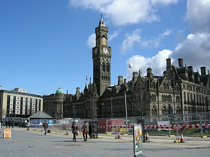
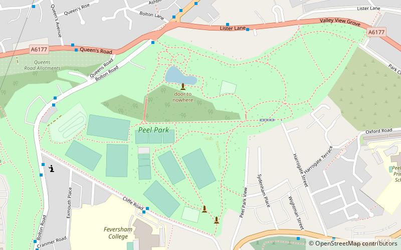
Peel Park is a 22.6-hectare urban public park in the Bolton and Undercliffe area of Bradford, England, located about 0.75 miles north-east of the city centre, and named after Sir Robert Peel. Peel Park was Bradford's first public park and is on the English Heritage and National Register of Historic Parks and Gardens online databases. The park is a Green Flag Award winner and has been for a number of years. ()
Created: 1853Elevation: 528 ft a.s.l.Coordinates: 53°48'30"N, 1°44'37"W
Address
Bolton Rd.Bradford East (Bolton and Undercliffe)Bradford BD 2 4
Contact
+44 1274 431547
Social media
Add
Day trips
Peel Park – popular in the area (distance from the attraction)
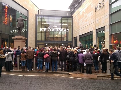
Nearby attractions include: The Broadway, Bradford Industrial Museum, Sunbridge Wells, Valley Parade.
Frequently Asked Questions (FAQ)
Which popular attractions are close to Peel Park?
Nearby attractions include Undercliffe Cemetery, Bradford (10 min walk), Al Mahdi Mosque, Bradford (13 min walk), LIFE Church UK, Bradford (16 min walk), Eccleshill, Bradford (19 min walk).
How to get to Peel Park by public transport?
The nearest stations to Peel Park:
Train
Bus
Train
- Bradford Forster Square (22 min walk)
- Frizinghall (34 min walk)
Bus
- Lumb Lane Picton Street • Lines: Route 620 (25 min walk)

