Lister Park, Bradford
Map

Gallery
Facts and practical information
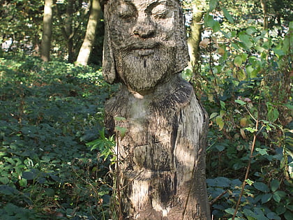
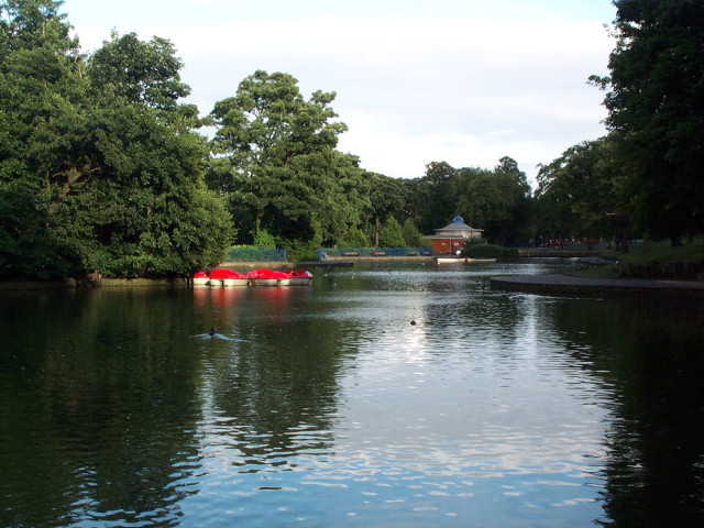
Lister Park is a picturesque public park in Bradford, West Yorkshire, England, between Manningham, Heaton and Frizinghall. It has won various national awards. ()
Created: 1870Elevation: 456 ft a.s.l.Coordinates: 53°48'47"N, 1°46'23"W
Address
North Park Rd.Bradford West (Manningham)Bradford BD9 4ND
Contact
+44 1274 431564
Social media
Add
Day trips
Lister Park – popular in the area (distance from the attraction)
Nearby attractions include: Valley Parade, Cartwright Hall, Northcliffe Park, Bradford Cathedral.
Frequently Asked Questions (FAQ)
Which popular attractions are close to Lister Park?
Nearby attractions include Cartwright Hall, Bradford (2 min walk), Frizinghall, Bradford (16 min walk), Heaton Woods, Bradford (22 min walk), Bradford Reform Synagogue, Bradford (24 min walk).
How to get to Lister Park by public transport?
The nearest stations to Lister Park:
Bus
Train
Bus
- Oak Lane St Marys Road • Lines: Route 620 (8 min walk)
- St Marys Road Oak Lane • Lines: Route 620 (8 min walk)
Train
- Frizinghall (14 min walk)
- Bradford Forster Square (35 min walk)


