West Derby Cemetery, Liverpool
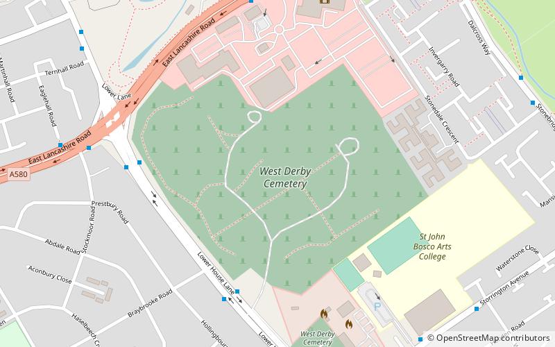
Map

Map

Facts and practical information
West Derby Cemetery, Lower House Lane, Croxteth. Opened in January 1884 it has been used for Church of England, Roman Catholic and Jewish burials. Various buildings at the cemetery are Grade II listed buildings. ()
Coordinates: 53°27'13"N, 2°54'54"W
Day trips
West Derby Cemetery – popular in the area (distance from the attraction)
Nearby attractions include: Croxteth Hall, Everton Cemetery, Church of St Christopher, Norris Green Park.
Frequently Asked Questions (FAQ)
How to get to West Derby Cemetery by public transport?
The nearest stations to West Derby Cemetery:
Train
Train
- Fazakerley (36 min walk)


