Plymouth Breakwater, Plymouth
Map

Gallery

Facts and practical information
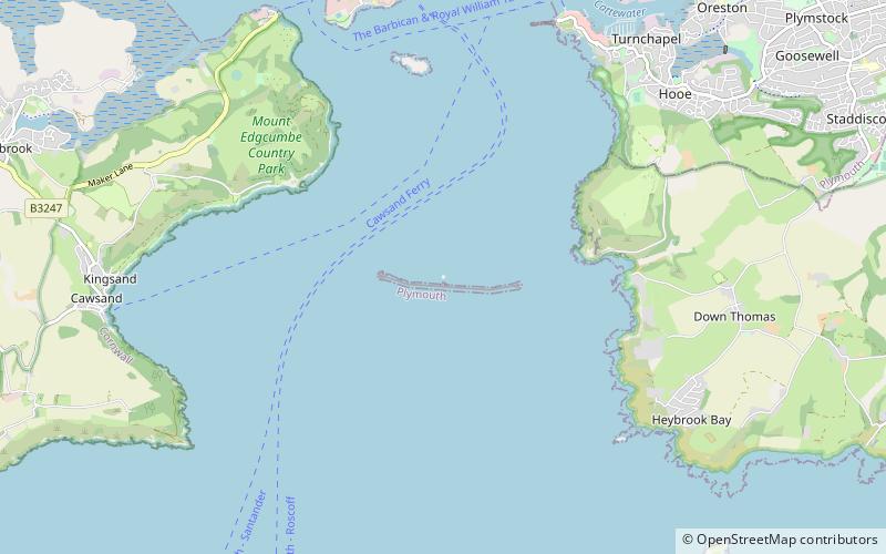
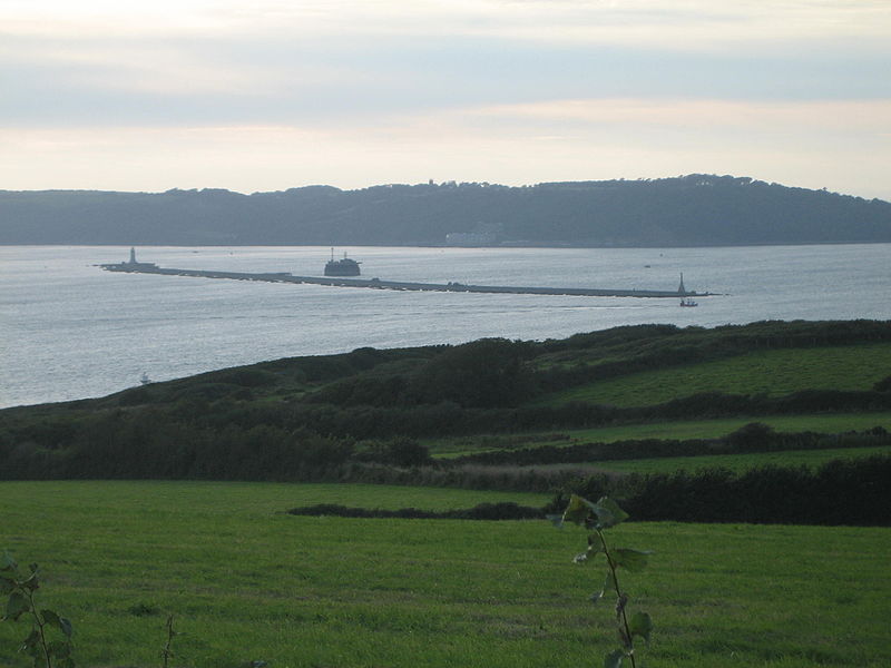
Plymouth Breakwater is a 1,560-metre stone breakwater protecting Plymouth Sound and the anchorages near Plymouth, Devon, England. It is 13 metres wide at the top and the base is 65 metres. It lies in about 10 metres of water. Around 4 million tons of rock were used in its construction in 1812 at the then-colossal cost of £1.5 million. ()
Coordinates: 50°20'4"N, 4°8'56"W
Day trips
Plymouth Breakwater – popular in the area (distance from the attraction)
Nearby attractions include: Fort Bovisand, Picklecombe Fort, Bovisand, Plymouth Sound.


