Plymouth Sound, Plymouth
Map

Map

Facts and practical information
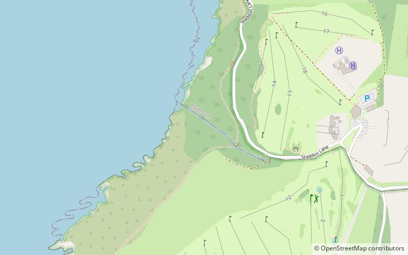
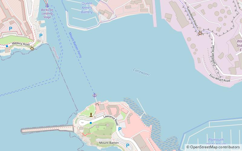
Plymouth Sound, Shores and Cliffs is a Site of Special Scientific Interest around the Plymouth Sound, a large area of water where the River Plym and Tamar meet. It stretches across the two ceremonial counties of Devon and Cornwall and the unitary authority area of Plymouth. It contains fossils of plants and sea creatures and its cliffs show a timeline of the Middle to Early Devonian period hundreds of millions of years ago ()
Coordinates: 50°20'46"N, 4°7'19"W
Address
Plymouth
ContactAdd
Social media
Add
Day trips
Plymouth Sound – popular in the area (distance from the attraction)
Nearby attractions include: Plymouth Dome, Royal Chapel of St Katherine-upon-the-Hoe, Plymouth Breakwater, Fort Bovisand.
Frequently Asked Questions (FAQ)
Which popular attractions are close to Plymouth Sound?
Nearby attractions include Fort Bovisand, Plymouth (18 min walk), Bovisand, Plymouth (18 min walk).


