Blagdon Lake, Mendips
Map

Gallery

Facts and practical information
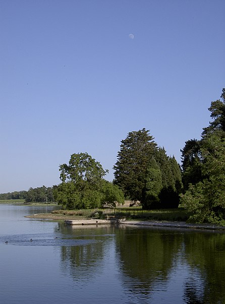
Blagdon Lake lies in a valley at the northern edge of the Mendip Hills, close to the village of Blagdon and approximately 10 miles south of Bristol, England. The lake was created by Bristol Water, when it dammed the River Yeo, starting construction in 1898, to designs by Charles Hawksley, and completing this in 1905. The Wrington Vale Light Railway was constructed primarily to bring building materials for the lake. ()
Maximum depth: 42 ftElevation: 141 ft a.s.l.Coordinates: 51°20'1"N, 2°41'48"W
Address
Mendips
ContactAdd
Social media
Add
Day trips
Blagdon Lake – popular in the area (distance from the attraction)
Nearby attractions include: Chew Valley Lake, East Twin Swallet, Aveline's Hole, Upper Flood Swallet.


