Gladstone Park, London
Map

Map

Facts and practical information
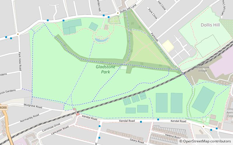
Gladstone Park is situated in the Dollis Hill area of north-west London. It is about 35 hectares in area. ()
Elevation: 164 ft a.s.l.Coordinates: 51°33'27"N, 0°14'11"W
Day trips
Gladstone Park – popular in the area (distance from the attraction)
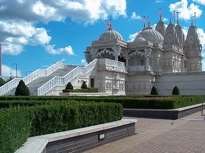
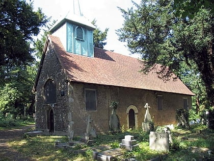
Nearby attractions include: BAPS Shri Swaminarayan Mandir London, Brent Reservoir, Roundwood Park, St Matthew's Church.
Frequently Asked Questions (FAQ)
Which popular attractions are close to Gladstone Park?
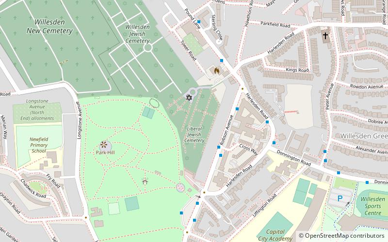
Nearby attractions include Neasden, London (12 min walk), Cricklewood Baptist Church, London (14 min walk), Willesden, London (21 min walk), Willesden Jewish Cemetery, London (22 min walk).
How to get to Gladstone Park by public transport?
The nearest stations to Gladstone Park:
Bus
Metro
Train
Bus
- Brook Road • Lines: 232 (5 min walk)
- Cullingworth Road • Lines: 226 (5 min walk)
Metro
- Dollis Hill • Lines: Jubilee (11 min walk)
- Neasden • Lines: Jubilee (17 min walk)
Train
- Cricklewood (26 min walk)
- Brondesbury Park (42 min walk)

 Tube
Tube


