Willesden New Cemetery, London
Map

Map

Facts and practical information
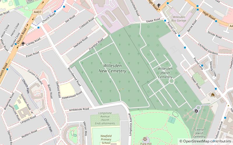
Willesden New Cemetery is a civic cemetery at Franklyn Road, Willesden, in the London Borough of Brent. It opened in 1891 and includes a memorial to local civilians who died in World War II. It previously included chapels, now demolished, by Charles H Worley. ()
Coordinates: 51°32'43"N, 0°14'38"W
Address
Brent (Willesden)London
ContactAdd
Social media
Add
Day trips
Willesden New Cemetery – popular in the area (distance from the attraction)
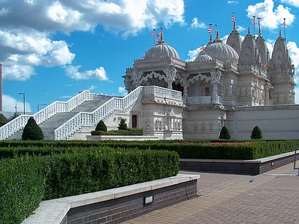
Nearby attractions include: BAPS Shri Swaminarayan Mandir London, Kensal Green Cemetery, St Mary's Catholic Cemetery, Roundwood Park.
Frequently Asked Questions (FAQ)
Which popular attractions are close to Willesden New Cemetery?
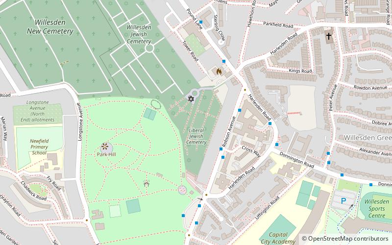
Nearby attractions include Willesden Jewish Cemetery, London (4 min walk), Liberal Jewish Cemetery, London (8 min walk), St Matthew's Church, London (9 min walk), Roundwood Park, London (12 min walk).
How to get to Willesden New Cemetery by public transport?
The nearest stations to Willesden New Cemetery:
Bus
Metro
Train
Bus
- Beaconsfield Road • Lines: 260, 266, 297, N266 (7 min walk)
- Ilex Road • Lines: 260, 266, N266 (7 min walk)
Metro
- Dollis Hill • Lines: Jubilee (13 min walk)
- Neasden • Lines: Jubilee (18 min walk)
Train
- Kensal Rise (33 min walk)

 Tube
Tube


