Roundwood Park, London
Map
Gallery
Facts and practical information
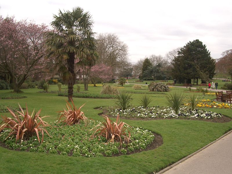
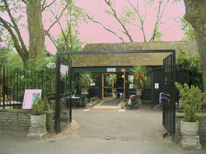
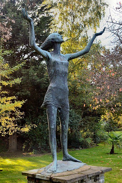
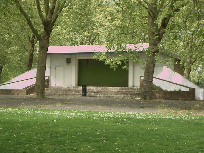
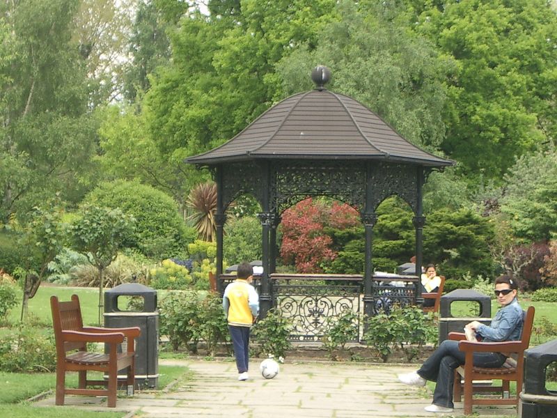
Roundwood Park is a public park in Willesden, London, measuring a total of 26.5 acres, or approximately 10.27 hectares. It was originally known in the 19th century as Knowles Hill, or Hunger Hill Common Field, and after much work by Oliver Claude Robson, became the Roundwood Park known to the public today. ()
Elevation: 144 ft a.s.l.Coordinates: 51°32'24"N, 0°14'15"W
Address
Brent (Willesden)London
ContactAdd
Social media
Add
Day trips
Roundwood Park – popular in the area (distance from the attraction)
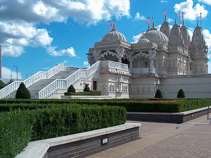
Nearby attractions include: BAPS Shri Swaminarayan Mandir London, Kensal Green Cemetery, St Mary's Catholic Cemetery, St Matthew's Church.
Frequently Asked Questions (FAQ)
Which popular attractions are close to Roundwood Park?
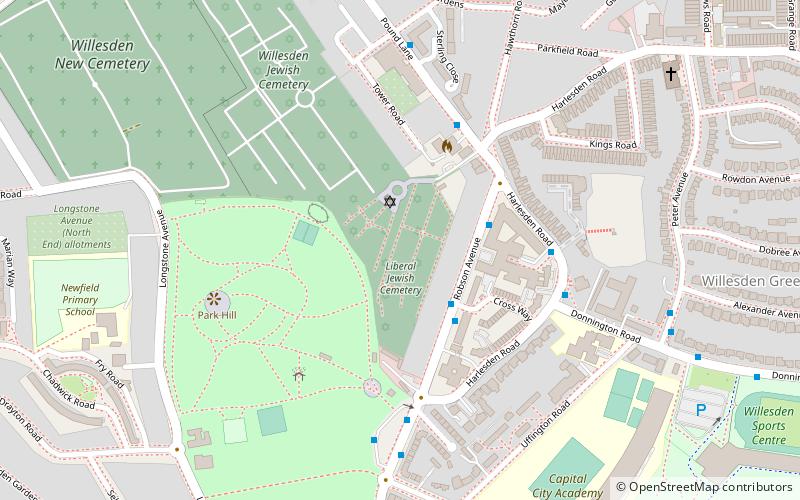
Nearby attractions include Liberal Jewish Cemetery, London (6 min walk), St Mary's Churchyard, London (10 min walk), Willesden Jewish Cemetery, London (11 min walk), Willesden New Cemetery, London (12 min walk).
How to get to Roundwood Park by public transport?
The nearest stations to Roundwood Park:
Bus
Metro
Train
Bus
- Roundwood Park • Lines: 206, 226 (1 min walk)
- Robson Avenue • Lines: 206, 226 (4 min walk)
Metro
- Willesden Junction • Lines: Bakerloo (16 min walk)
- Dollis Hill • Lines: Jubilee (22 min walk)
Train
- Kensal Rise (22 min walk)
- Brondesbury Park (30 min walk)



 Tube
Tube