Cowgate, Edinburgh
Map

Gallery

Facts and practical information
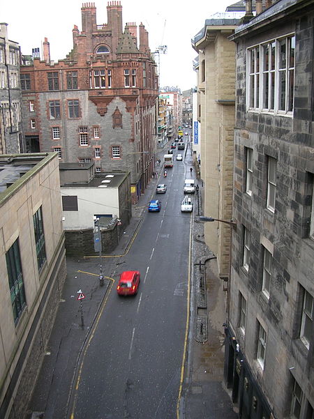
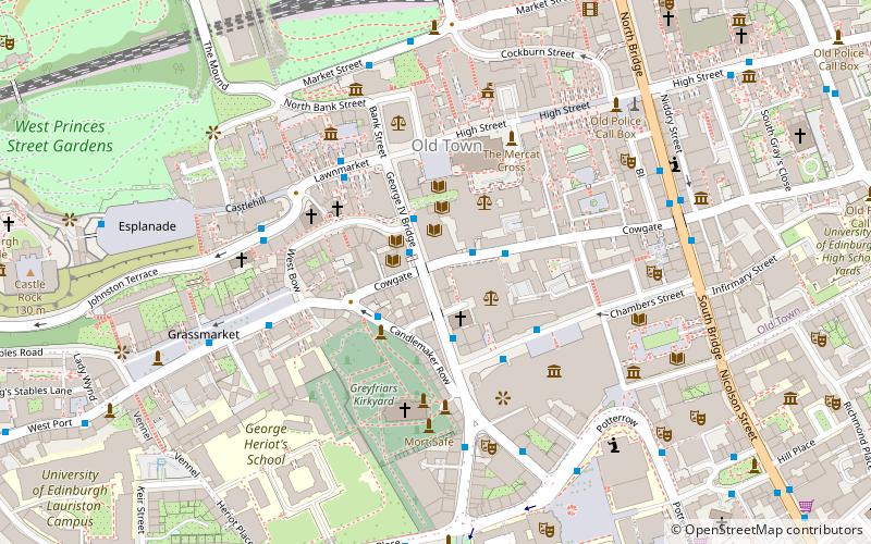
The Cowgate is a street in Edinburgh, Scotland, located about 550 yards southeast of Edinburgh Castle, within the city's World Heritage Site. The street is part of the lower level of Edinburgh's Old Town, which lies below the elevated streets of South Bridge and George IV Bridge. Consequently, the Cowgate can be quite gloomy and dark in sections. It meets the Grassmarket at its west end and Holyrood Road to the east. ()
Length: 2112 ftCoordinates: 55°56'55"N, 3°11'18"W
Address
Old Town (Cowgate)Edinburgh
ContactAdd
Social media
Add
Day trips
Cowgate – popular in the area (distance from the attraction)
Nearby attractions include: Cockburn Street, St Giles' Cathedral, National Museum of Scotland, Thistle Chapel.
Frequently Asked Questions (FAQ)
Which popular attractions are close to Cowgate?
Nearby attractions include Mercat Tours, Edinburgh (2 min walk), Monkey Barrel Comedy, Edinburgh (2 min walk), Edinburgh Vaults, Edinburgh (2 min walk), Chambers Street, Edinburgh (2 min walk).
How to get to Cowgate by public transport?
The nearest stations to Cowgate:
Bus
Train
Tram
Bus
- South Bridge • Lines: 29, 3, 31, 37, 49, 51 (2 min walk)
- Chambers Street • Lines: 41 (4 min walk)
Train
- Edinburgh Waverley (7 min walk)
Tram
- Princes Street • Lines: Edinburgh Trams Eastbound, Edinburgh Trams Westbound (11 min walk)
- St Andrew Square • Lines: Edinburgh Trams Eastbound, Edinburgh Trams Westbound (12 min walk)


