Downhills Park, London
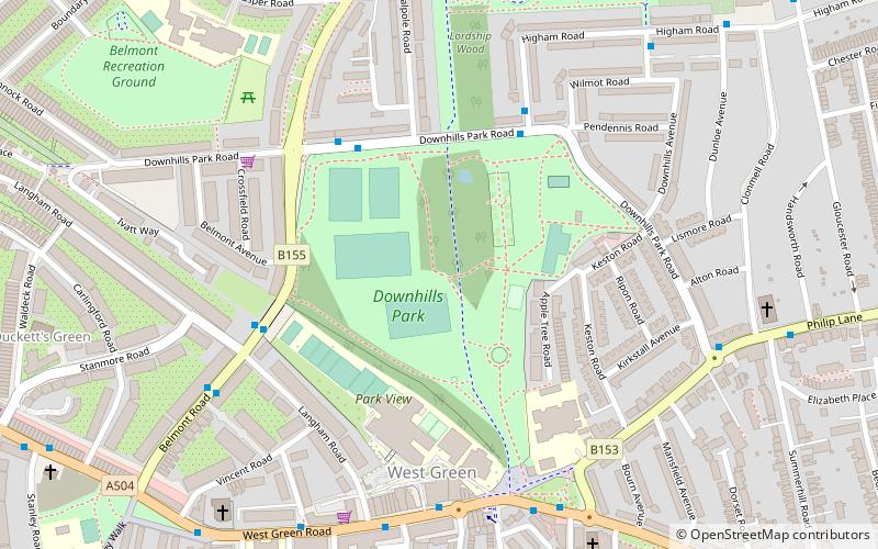
Map

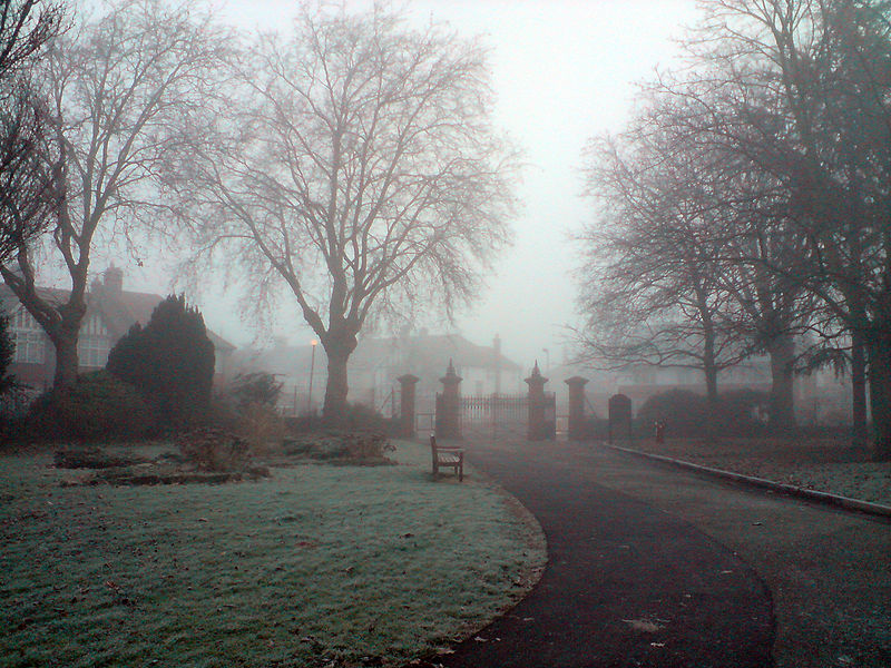
Gallery

Facts and practical information
Downhills Park is a park in the West Green area of Haringey. ()
Elevation: 82 ft a.s.l.Coordinates: 51°35'21"N, 0°5'23"W
Address
Downhills Park Rd.Haringey (West Green)London N17 6AT
ContactAdd
Social media
Add
Day trips
Downhills Park – popular in the area (distance from the attraction)
Nearby attractions include: Northumberland Development Project, The Mall Wood Green, Bruce Castle, Tottenham Hotspur Stadium.
Frequently Asked Questions (FAQ)
Which popular attractions are close to Downhills Park?
Nearby attractions include St Philip the Apostle, London (8 min walk), Lordship Recreation Ground, London (11 min walk), Chestnuts Park, London (12 min walk), Ducketts Common, London (13 min walk).
How to get to Downhills Park by public transport?
The nearest stations to Downhills Park:
Bus
Metro
Train
Bus
- Hail & Ride Downhills Park Road • Lines: W4 (4 min walk)
- Black Boy Lane • Lines: 230, 41, 67, N41 (6 min walk)
Metro
- Turnpike Lane • Lines: Piccadilly (15 min walk)
- Seven Sisters • Lines: Victoria (21 min walk)
Train
- Harringay Green Lanes (23 min walk)
- Bruce Grove (23 min walk)

 Tube
Tube


