Alexandra Park, Glasgow
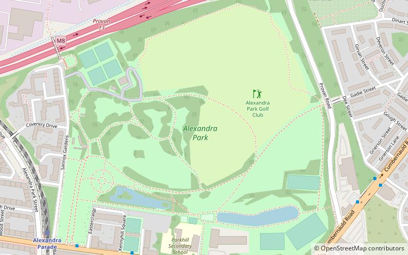
Map
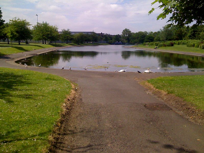
Gallery
Facts and practical information
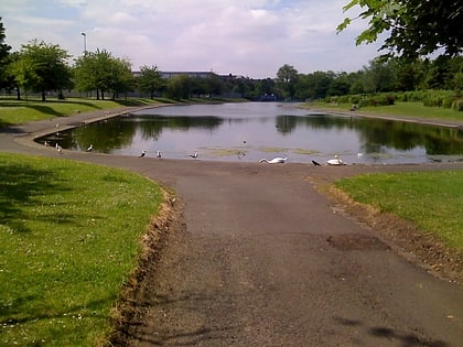
Alexandra Park is a public park in the East End of Glasgow, Scotland. It is located in Dennistoun, 2 miles east of the city centre. Named after Princess Alexandra of Denmark, it opened in 1870. The highest point of the park gives views north to Ben Lomond and south to the Tinto Hills. The park is generally open from dawn to dusk daily, but the facilities inside the park have separate opening and closing times accordingly. ()
Opened: 1870 (156 years ago)Elevation: 223 ft a.s.l.Coordinates: 55°51'57"N, 4°12'14"W
Address
10 Sannox GardensEast End (Dennistoun)Glasgow G31 3JE
ContactAdd
Social media
Add
Day trips
Alexandra Park – popular in the area (distance from the attraction)
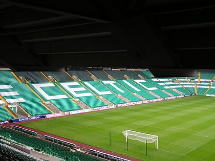
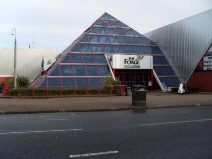
Nearby attractions include: Celtic Park, Glasgow Necropolis, Glasgow Green, The Forge Shopping Centre.
Frequently Asked Questions (FAQ)
Which popular attractions are close to Alexandra Park?
Nearby attractions include Haghill, Glasgow (9 min walk), Blochairn, Glasgow (12 min walk), Dennistoun, Glasgow (17 min walk), Provanmill, Glasgow (19 min walk).
How to get to Alexandra Park by public transport?
The nearest stations to Alexandra Park:
Bus
Train
Bus
- Cumbernauld Road / Aitken Street • Lines: 38, 38A (6 min walk)
- Glasgow, Cumbernauld Road / Provan Road • Lines: 38 (8 min walk)
Train
- Alexandra Parade (8 min walk)
- Duke Street (16 min walk)
