Tonge, Bolton

Map
Facts and practical information
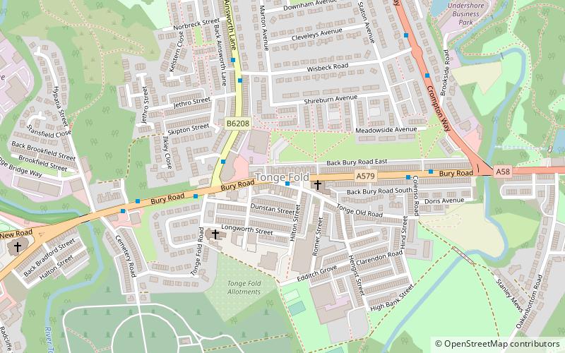
Tonge is an outlying area of Bolton, in Greater Manchester, England. The name is supposed to be derived from the Old English "tang" or "twang" meaning a fork in a river. Tonge comprises two areas, namely Tonge Fold and Tonge Moor. Tonge Fold sits upon the River Tonge, a region of whose banks are a geological site of special scientific interest. ()
Coordinates: 53°34'50"N, 2°24'19"W
Address
Bolton
ContactAdd
Social media
Add
Day trips
Tonge – popular in the area (distance from the attraction)
Nearby attractions include: St Patrick's Church, St Stephen and All Martyrs' Church, Bolton Parish Church, Octagon Theatre.
Frequently Asked Questions (FAQ)
Which popular attractions are close to Tonge?
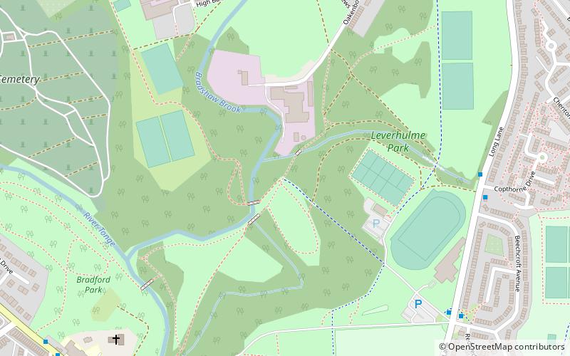
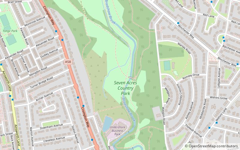
Nearby attractions include Seven Acres Country Park, Bolton (12 min walk), Leverhulme Park, Bolton (12 min walk), St Stephen and All Martyrs' Church, Bolton (15 min walk), Bolton Parish Church, Bolton (20 min walk).
How to get to Tonge by public transport?
The nearest stations to Tonge:
Bus
Train
Bus
- Bradshawgate/Great Moor Street • Lines: 125 (23 min walk)
- Deansgate/Bridge Street • Lines: 125 (24 min walk)
Train
- Bolton (25 min walk)
- Hall i' th' Wood (31 min walk)


