All Saints' Church, Bath
Map

Gallery

Facts and practical information
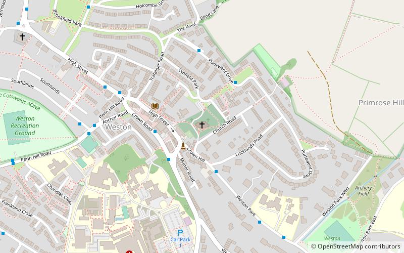
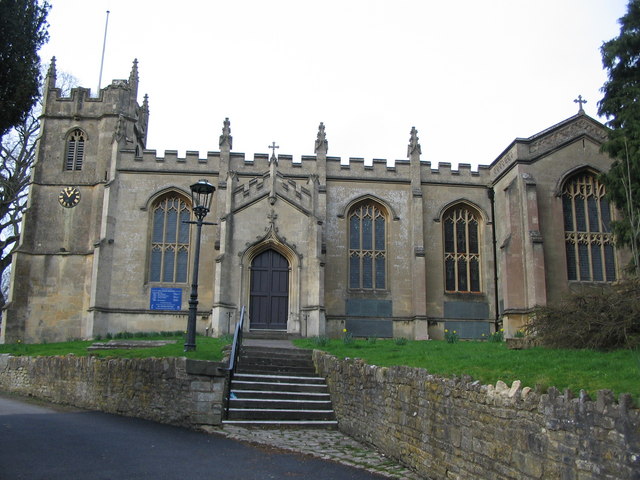
All Saints' Church is a Church of England parish church which stands on a hill at the centre of Weston, a small village on the outskirts of Bath, England. The current Gothic church was designed by architect John Pinch the Elder and completed in 1832, although it retains the 15th-century tower of its predecessor, All Hallows Church. ()
Coordinates: 51°23'44"N, 2°23'18"W
Day trips
All Saints' Church – popular in the area (distance from the attraction)
Nearby attractions include: Royal Crescent, No. 1 Royal Crescent, Royal Victoria Park, Museum of Bath at Work.
Frequently Asked Questions (FAQ)
Which popular attractions are close to All Saints' Church?
Nearby attractions include Weston, Bath (4 min walk), Newbridge, Bath (17 min walk), Locksbrook Cemetery, Bath (17 min walk), Sion Hill Place, Bath (18 min walk).
How to get to All Saints' Church by public transport?
The nearest stations to All Saints' Church:
Bus
Train
Bus
- P&R Newbridge • Lines: 21 (22 min walk)
- P&R Lansdown • Lines: 31 (28 min walk)
Train
- Oldfield Park (30 min walk)


