Locksbrook Cemetery, Bath
Map
Gallery
Facts and practical information
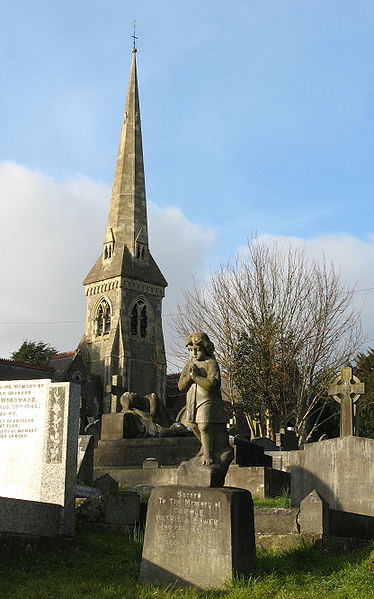
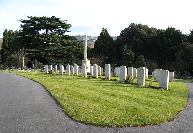
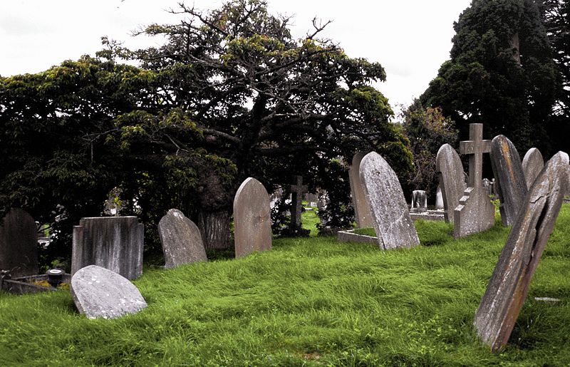
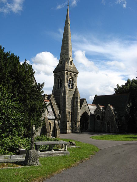
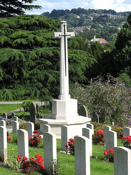
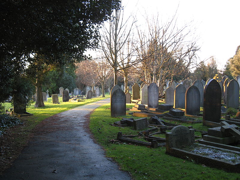
Locksbrook Cemetery is a municipal cemetery located in Lower Weston, Bath, England. It was opened in 1864 as Walcot Cemetery, and occupies 12 acres, originally serving the parishes of Walcot, Weston and St Saviour's. The cemetery was closed for general use in 1937 with over 30,000 interments there, though additional burials in existing graves continue. The majority of the cemetery was for about 29,500 burials from Walcot parish, with the north of the cemetery for Weston and St Saviour parishes. ()
Coordinates: 51°23'9"N, 2°23'12"W
Day trips
Locksbrook Cemetery – popular in the area (distance from the attraction)
Nearby attractions include: Royal Crescent, No. 1 Royal Crescent, Royal Victoria Park, Bath Postal Museum.
Frequently Asked Questions (FAQ)
Which popular attractions are close to Locksbrook Cemetery?
Nearby attractions include Locksbrook, Bath (8 min walk), Weston Lock, Bath (13 min walk), Bath Artists' Studios, Bath (14 min walk), Newbridge, Bath (15 min walk).
How to get to Locksbrook Cemetery by public transport?
The nearest stations to Locksbrook Cemetery:
Train
Bus
Train
- Oldfield Park (14 min walk)
Bus
- P&R Newbridge • Lines: 21 (23 min walk)
- Monmouth Place Gd • Lines: 21 (24 min walk)


