Markland Hill, Bolton
Map
Facts and practical information
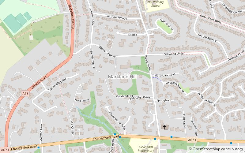
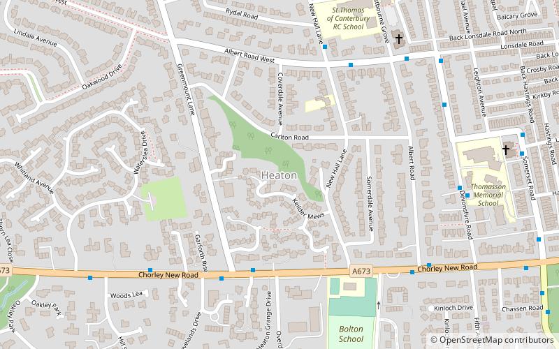
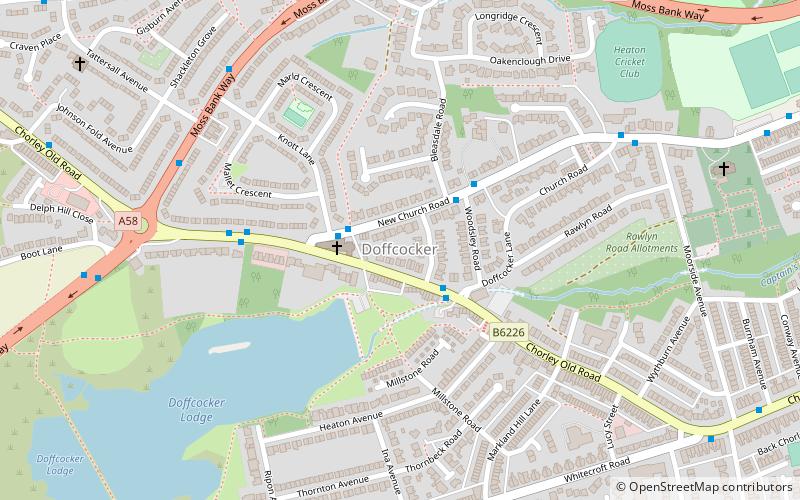
Markland Hill is a mostly residential district of Bolton, Greater Manchester, England. Historically within Lancashire, it is about 2.5 miles to the north west of the town centre. It lies on the lower south facing slopes of the West Pennine Moors. It is bounded by Lostock to the south, Doffcocker to the north, and Heaton to the east. It occupied the northern part of the Heaton township. ()
Coordinates: 53°34'57"N, 2°28'45"W
Address
Bolton
ContactAdd
Social media
Add
Getting there by public transportation
Public transportation stops near this location
- Bus
- Train
 Bus
Bus
- Calculate routeChorley New Rd/Ravens Wood 5 min walk
- Calculate routeLostock 24 min walk
Day trips


Frequently Asked Questions (FAQ)
Which popular attractions are close to Markland Hill?
Nearby attractions include Heaton, Bolton (15 min walk), Doffcocker, Bolton (16 min walk), St Margaret's Church, Bolton (24 min walk).
How to get to Markland Hill by public transport?
The nearest stations to Markland Hill:
Bus
Train
Bus
- Chorley New Rd/Ravens Wood • Lines: 575 (5 min walk)
Train
- Lostock (24 min walk)