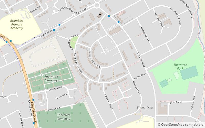
Thorntree, Middlesbrough
Map

Map

Facts and practical information
Thorntree is a housing estate in east Middlesbrough, North Yorkshire, England. The former Thorntree Ward's population was 6,290, at the 2011 census. Since 2015, the estate shares a ward with Brambles Farm. ()
Coordinates: 54°33'49"N, 1°11'4"W
Address
ThorntreeMiddlesbrough
ContactAdd
Social media
Add
Day trips
Thorntree – popular in the area (distance from the attraction)
Nearby attractions include: Cleveland Centre, Riverside Stadium, Tees Transporter Bridge, Middlesbrough Institute of Modern Art.
Frequently Asked Questions (FAQ)
Which popular attractions are close to Thorntree?
Nearby attractions include Netherfields, Middlesbrough (18 min walk), Pallister, Middlesbrough (20 min walk).
How to get to Thorntree by public transport?
The nearest stations to Thorntree:
Bus
Train
Bus
- Ormesby Crossroads • Lines: 5A, 63, X5 (25 min walk)
Train
- James Cook (32 min walk)


