Queen's Park, Glasgow
Map
Gallery
Facts and practical information
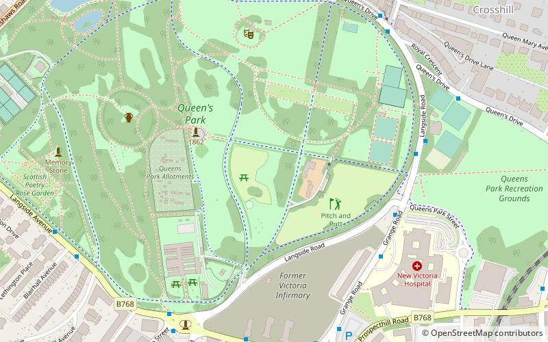
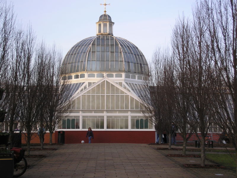
Queen's Park is a park situated on the south side of the city of Glasgow, Scotland. The 60-hectare park lies about 2+1⁄2 miles south of the city centre, and gives its name to a nearby railway station and several other local businesses and institutions, including the football team Queen's Park F.C. ()
Area: 23.17 mi²Elevation: 167 ft a.s.l.Coordinates: 55°49'49"N, 4°16'4"W
Day trips
Queen's Park – popular in the area (distance from the attraction)
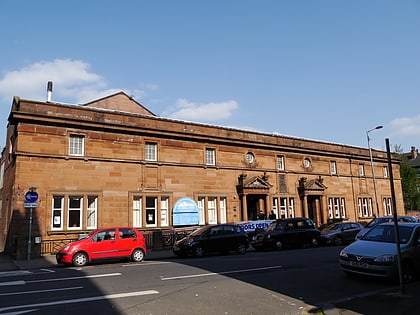
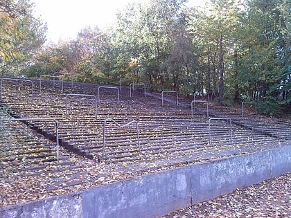
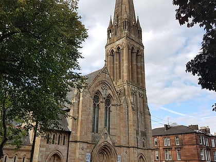
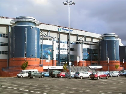
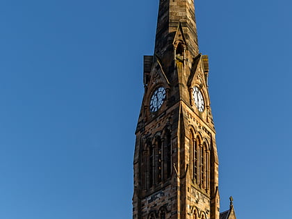
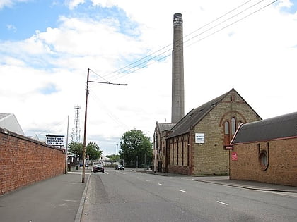
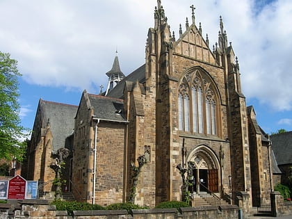
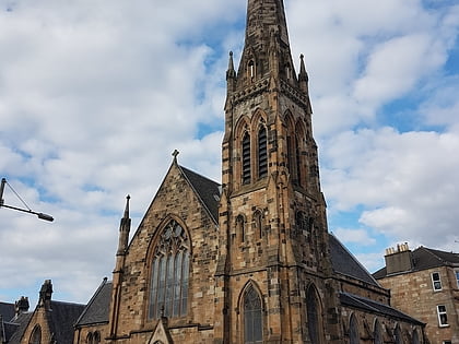
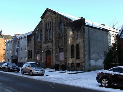
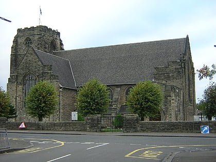
Nearby attractions include: Hampden Park, Govanhill Baths, Cathkin Park, Camphill Queen's Park Baptist Church.
Frequently Asked Questions (FAQ)
Which popular attractions are close to Queen's Park?
Nearby attractions include Camphill Queen's Park Baptist Church, Glasgow (5 min walk), Crosshill Queen's Park Church, Glasgow (7 min walk), Queen's Park Govanhill Parish Church, Glasgow (8 min walk), Crosshill, Glasgow (9 min walk).
How to get to Queen's Park by public transport?
The nearest stations to Queen's Park:
Train
Bus
Train
- Queens Park (9 min walk)
- Mount Florida (10 min walk)
Bus
- Pollokshaws Road / Marywood Square • Lines: 3, 38, 38A (10 min walk)


