Caldmore, Walsall
Map

Map

Facts and practical information
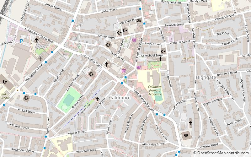
Caldmore is a suburb of Walsall in the West Midland, England. It is a historic village formerly in Staffordshire. ()
Elevation: 453 ft a.s.l.Coordinates: 52°34'35"N, 1°58'58"W
Day trips
Caldmore – popular in the area (distance from the attraction)
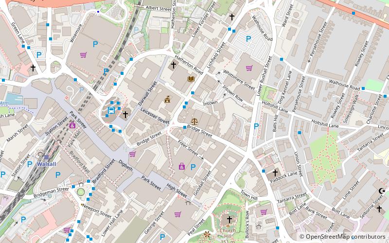
Nearby attractions include: Banks's Stadium, Saddlers Centre, The New Art Gallery Walsall, Walsall Town Hall.
Frequently Asked Questions (FAQ)
Which popular attractions are close to Caldmore?
Nearby attractions include St Mary & All Saints, Walsall (8 min walk), St Matthew's Centre, Walsall (12 min walk), Walsall Museum, Walsall (16 min walk), The New Art Gallery Walsall, Walsall (17 min walk).
How to get to Caldmore by public transport?
The nearest stations to Caldmore:
Bus
Train
Bus
- Wednesbury Rd / Walsall Almshouses • Lines: 334, 34, 700 (6 min walk)
- Wednesbury Rd / Corporation St • Lines: 334, 34 (6 min walk)
Train
- Walsall (14 min walk)
- Bescot Stadium (26 min walk)


